Maduru Oya Dam, Maduru Oya National Park

Gallery (1)
Map
Map
Facts and practical information
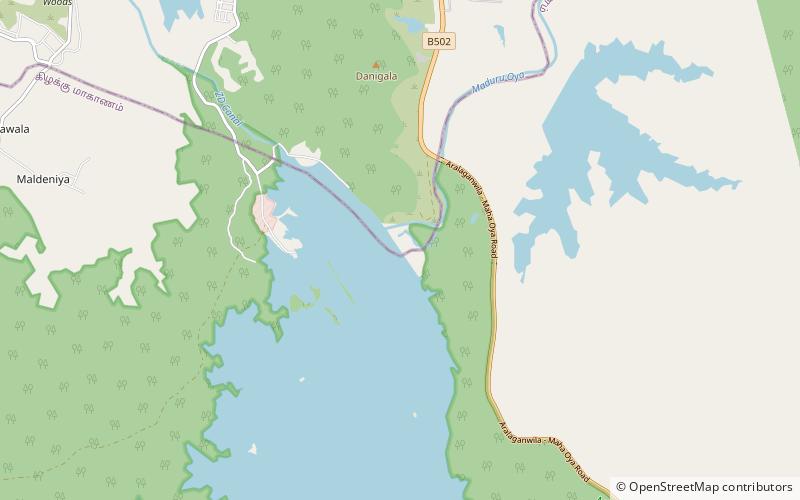
The Maduru Oya Dam is an irrigation dam built across the Maduru Oya. The embankment dam measures 1,090 m in length, 41 m in height, and creates the Maduru Oya Reservoir. The reservoir has a catchment area of 453 km2 and a storage capacity of 596,000,000 cubic metres The proposed Maduru Oya Solar Power Station is to be built over the surface of the Maduru Oya reservoir. ()
Length: 3576 ftHeight: 135 ftCoordinates: 7°38'53"N, 81°12'50"E
Address
Maduru Oya National Park
ContactAdd
Social media
Add