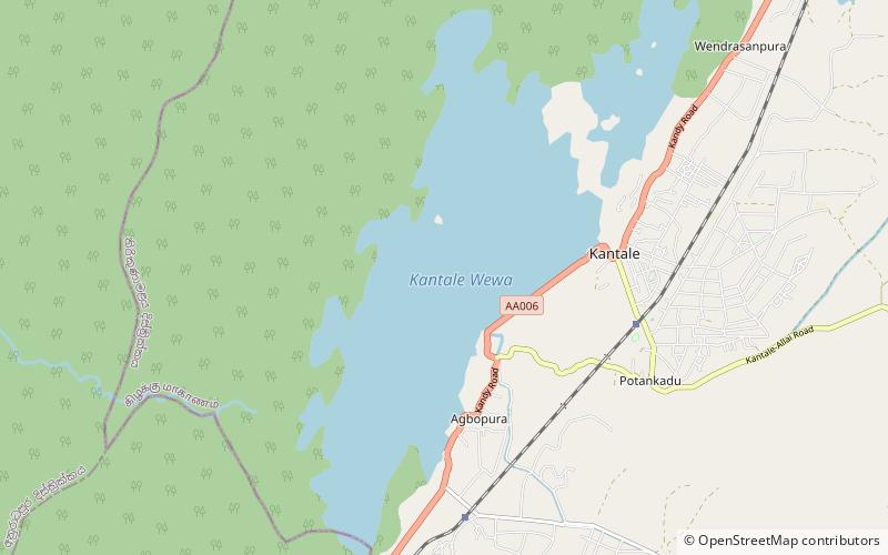
Kantale Dam
Map

Map

Facts and practical information
The Kantale Dam is a large embankment dam built in Kantale, Trincomalee District, Sri Lanka, used for irrigation. It is 14,000 ft long, and over 50 ft high. The dam breached on 20 April 1986, killing more than 120 people. It has since been reconstructed. The dam impounds the Per Aru, a small river discharging into the Koddiyar Bay, at Trincomalee Harbour. ()
Local name: කන්තලේ වැව Length: 2.65 miHeight: 50 ftElevation: 200 ft a.s.l.Coordinates: 8°21'48"N, 80°58'35"E
Location
Trincomalee
ContactAdd
Social media
Add
