Katuwana fort

Gallery (1)
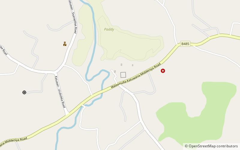
Map
Map
Facts and practical information
Katuwana Fort, is an inland fort constructed by the Dutch in 1646. ()
Local name: කටුවන බලකොටුවBuilt: 1646 (380 years ago)Coordinates: 6°16'3"N, 80°41'42"E
Location
Hambantota
ContactAdd
Social media
Add