Beruwala Harbour, Beruwela

Map
Facts and practical information
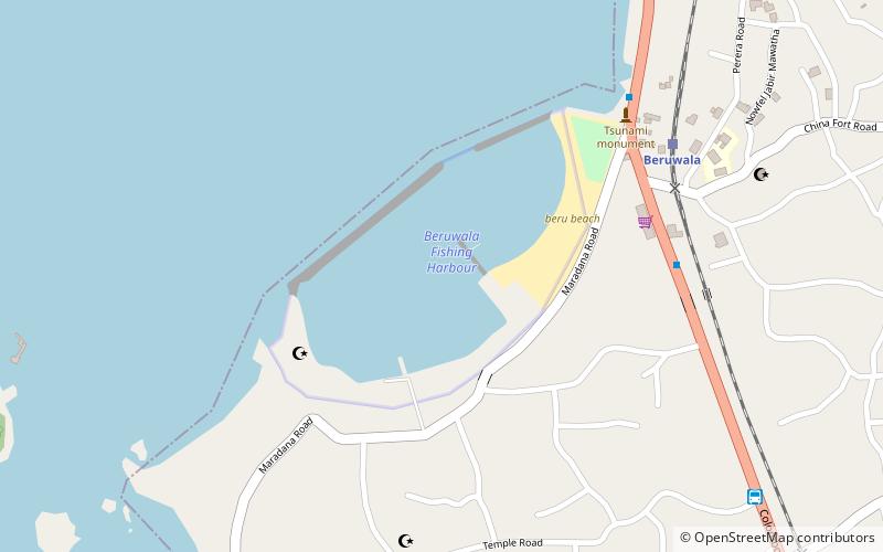
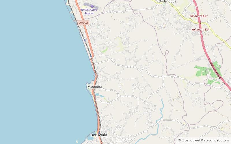
Beruwala Harbour, in Beruwala, Sri Lanka, is one of the main fishery harbours on the western coast of Sri Lanka. It is situated in the southern edge of the Kalutara district, which is about 60 km south of Colombo. It has the capability of supplying berthing, refrigeration and fuel facilities which are often needed by fishing boats. ()
Local name: බේරුවල වරායCoordinates: 6°28'28"N, 79°58'45"E
Address
Beruwela
ContactAdd
Social media
Add
Day trips
Beruwala Harbour – popular in the area (distance from the attraction)
Nearby attractions include: Brief Garden, Al Abrar Mosque, Kande Vihara, Ketchchimalai Mosque.
Frequently Asked Questions (FAQ)
Which popular attractions are close to Beruwala Harbour?
Nearby attractions include Ketchchimalai Mosque, Beruwela (7 min walk), Al Abrar Mosque, Beruwela (21 min walk).


