Sera Ella, Matale
Map

Map

Facts and practical information
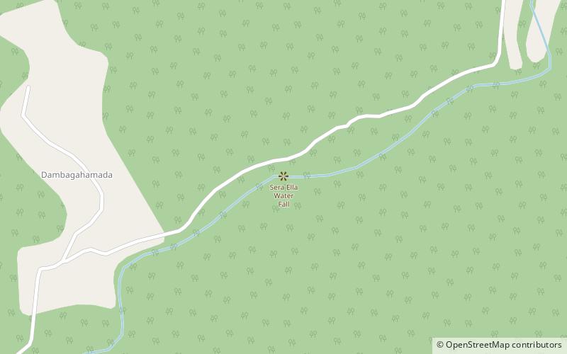
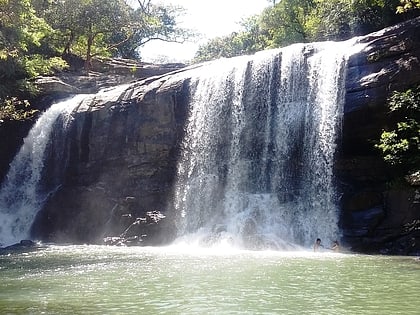
Sera Ella is a waterfall located in Pothatawela village, a place near Laggala in the Matale District of Sri Lanka. It is formed by the waters of Kitul Canal which runs down Kaudagammana peak and the Hunumadala River, which flows from the mountains of Gonamada and Deyuthu Gammmaduwa, combining to form the Puwakpitiya River, a waterway which joins Thelgamu Oya to create the waterfall at its point of joining. ()
Height: 33 ftCoordinates: 7°35'18"N, 80°45'19"E
Address
Matale
ContactAdd
Social media
Add
Day trips
Sera Ella – popular in the area (distance from the attraction)
Nearby attractions include: Kalu Ganga Dam.

