Balangoda

Gallery (1)
Map
Map
Facts and practical information
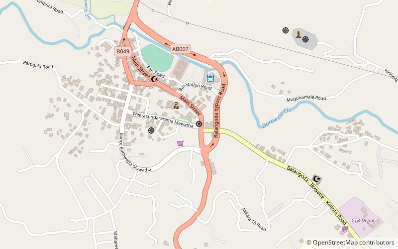
Balangoda is a large town in Ratnapura District, Sabaragamuwa Province, Sri Lanka, governed by an urban council located 143 kilometres away from Colombo and 43 kilometres from Ratnapura on Colombo - Batticaloa Highway. It is one of the largest towns of the Sabaragamuwa Province. According to the 2001 census, Balangoda has a population of 16,875 and area of 16.2 km2. ()
Location
Ratnapura
ContactAdd
Social media
Add
Day trips
Balangoda – popular in the area (distance from the attraction)
Nearby attractions include: Uggal Aluthnuwara Kataragama Devalaya.
