Hambantota Wind Farm, Hambantota
Map
Map

Facts and practical information
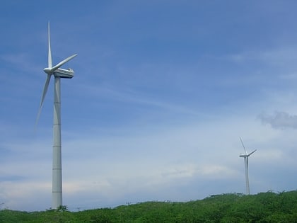
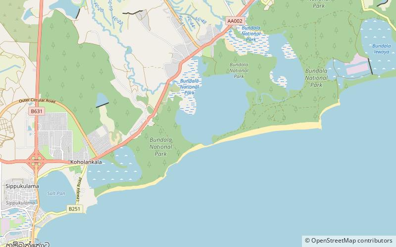
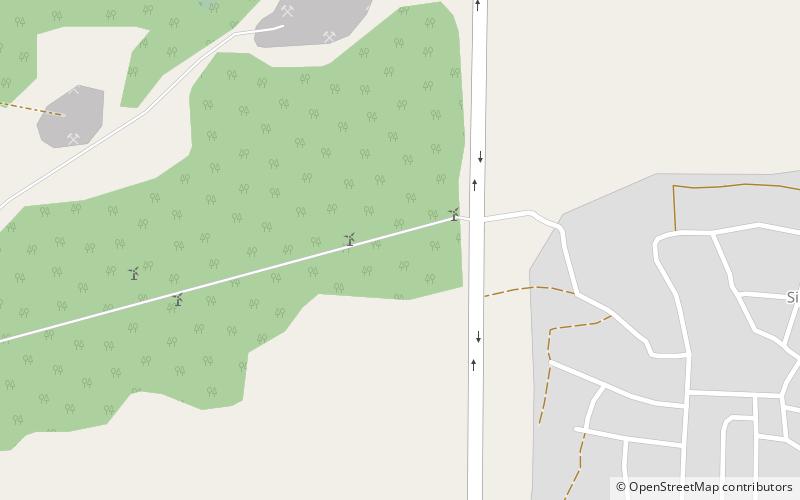
The Hambantota Wind Farm was a wind farm in Hambantota, Sri Lanka, owned and operated by the state-run Ceylon Electricity Board. The wind farm, which was located along south-eastern coast of Hambantota was the country's first state owned wind farm, and consisted of five NEG Micon M1500-600 wind turbines of 600 KW each. With a total installed capacity of 3 MW, the wind farm generated up to approximately 4,500 MWh of power a year. ()
Local name: හම්බන්තොට සුළං විදුලි බල උද්යානයCoordinates: 6°8'46"N, 81°6'47"E
Address
Hambantota
ContactAdd
Social media
Add
Day trips
Hambantota Wind Farm – popular in the area (distance from the attraction)
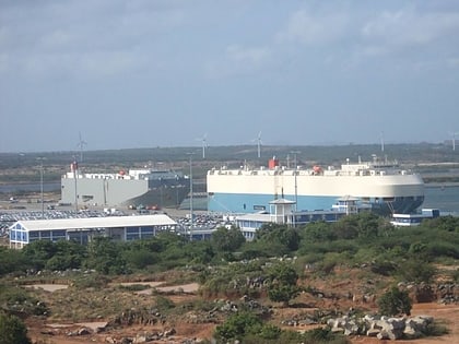
Nearby attractions include: Hambantota Lighthouse, Mirijjawila Botanical Garden, Hambantota International Port, Malala-Ambilikala Lagoons.
