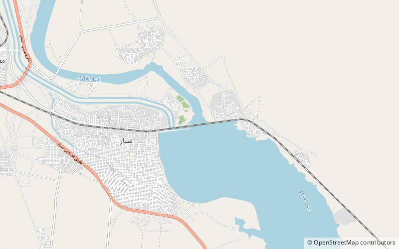
Sennar Dam, Sennar

Map
Facts and practical information
The Sennar Dam is an irrigation dam on the Blue Nile near the town of Sennar in the Al Jazirah region of Sudan. The dam is 3,025 metres long and has a maximum height of 40 metres. It was designed by the Scottish engineer Sir Murdoch MacDonald, begun in 1914 and completed in 1925 by the British contractor S Pearson & Sons. ()
Local name: خزان سنار Opened: 1926 (100 years ago)Length: 9925 ftHeight: 130 ftCoordinates: 13°32'52"N, 33°38'8"E
Address
Sennar
ContactAdd
Social media
Add