Maguga Dam

Gallery (1)
Map
Map
Facts and practical information
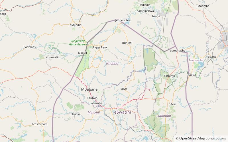
The Maguga Dam is a dam on the Komati River in Eswatini. It is 115 metres high and is located about 12 kilometres south of Piggs Peak. It was built as a joint project of the governments of South Africa and Eswatini. As of 2005, it was the largest public works project ever undertaken by Eswatini. The dam was completed in mid-2001. ()
Opened: 2001 (25 years ago)Height: 377 ftCoordinates: 26°10'0"S, 31°22'60"E
Location
Hhohho
ContactAdd
Social media
Add