Sarektjåkkå, Laponia

Gallery (1)
Map
Map
Facts and practical information
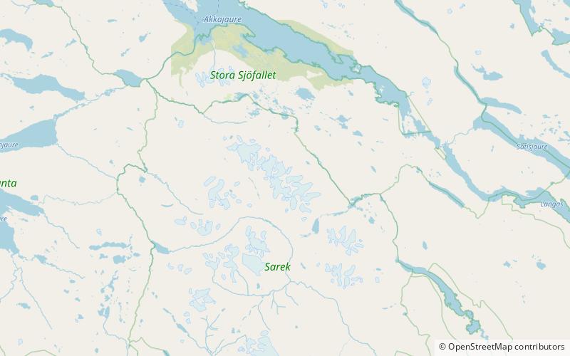
Sarektjåkkå is the second highest mountain in Sweden and the highest mountain in the Laponian area at 2,089 metres AMSL. The mountain is located close to the eastern border of Sarek National Park, about 23 kilometres southwest of Suorva. ()
Address
Laponia
ContactAdd
Social media
Add