Runstenen, Söderköping

Gallery (1)
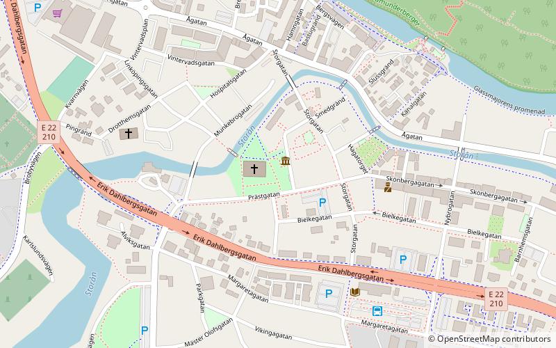
Map
Map
Facts and practical information
Runstenen is a place located in Söderköping (Östergötland county) and belongs to the category of stela.
It is situated at an altitude of 33 feet, and its geographical coordinates are 58°28'49"N latitude and 16°19'14"E longitude.
Among other places and attractions worth visiting in the area are: St. Lawrence's Church (church, 2 min walk), Drothem Church (gothic architecture, 5 min walk), Göta Canal (canal, 140 min walk).
Coordinates: 58°28'49"N, 16°19'14"E
Address
Söderköping
ContactAdd
Social media
Add
Day trips


Frequently Asked Questions (FAQ)
Which popular attractions are close to Runstenen?
Nearby attractions include St. Lawrence's Church, Söderköping (2 min walk), Drothem Church, Söderköping (5 min walk).