Upplands runinskrifter 43, Färingsö

Gallery (1)
Map
Map
Facts and practical information
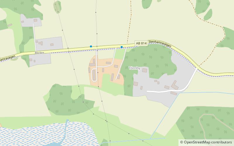
Runic inscription U 43 is a rune stone that stands on the left side of the entrance road to a farm in Törnby in Skå parish and Ekerö municipality in Uppland. The stone was placed there in 1937. Its original location was a little further away and out in the field at the side of the road.
Coordinates: 59°19'31"N, 17°43'44"E
Address
Färingsö
ContactAdd
Social media
Add
Day trips