Falbygdens Energi AB, Falköping

Gallery (1)
Map
Map
Facts and practical information
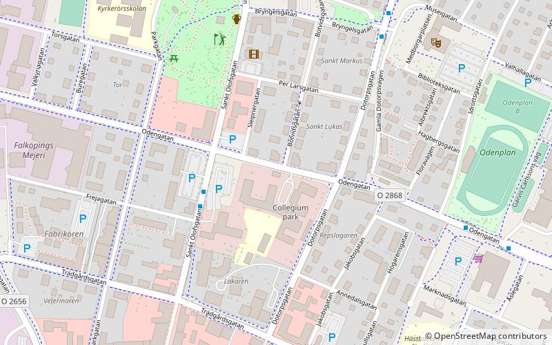
Falbygdens Energi AB (address: ÅSLEGATAN 1) is a place located in Falköping (Västra Götaland county) and belongs to the category of sightseeing.
It is situated at an altitude of 732 feet, and its geographical coordinates are 58°9'54"N latitude and 13°33'16"E longitude.
Among other places and attractions worth visiting in the area are: Falköpings Stadsbibliotek (library, 9 min walk), Church ruins of Agnestad (church, 51 min walk), Ålleberg (nature, 63 min walk).
Coordinates: 58°9'54"N, 13°33'16"E
Address
ÅSLEGATAN 1Falköping
ContactAdd
Social media
Add
Day trips


