Färjenäsparken, Gothenburg

Map
Facts and practical information
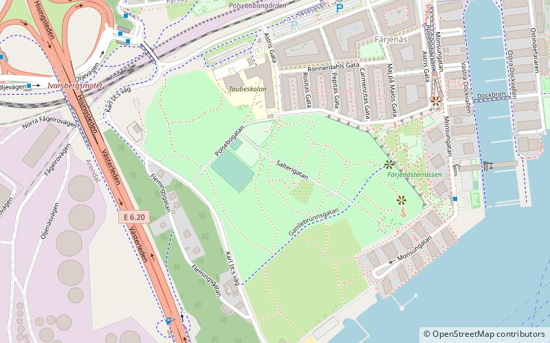
Färjenäsparken is a park located on the north bank of the Göta älv, Sweden. It consists of grilling places, a driving range, a ground for beach volleyball, mini golf, a cafe with a lunch restaurant, and other attractions. Färjenäs is where Karl IX founded Gothenburg in 1603. In 1611 the city was burned down by the Danes. ()
Elevation: 66 ft a.s.l.Coordinates: 57°41'50"N, 11°54'8"E
Day trips
Färjenäsparken – popular in the area (distance from the attraction)
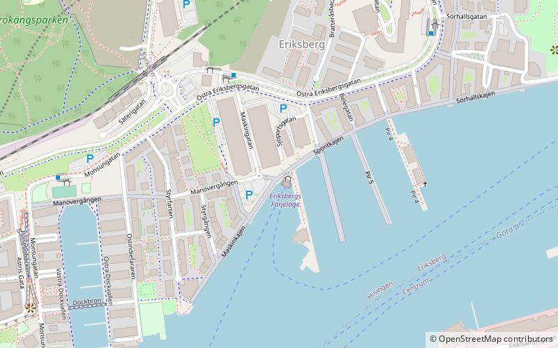
Nearby attractions include: Eriksberg, Älvsborg Bridge, Biskopsgården Church, Gothenburg English Studio Theatre.
Frequently Asked Questions (FAQ)
Which popular attractions are close to Färjenäsparken?
Nearby attractions include Klippans Ångbåtsbrygga, Gothenburg (11 min walk), Älvsborg Bridge, Gothenburg (12 min walk), Eriksberg, Gothenburg (14 min walk), Röda Sten Konsthall, Gothenburg (15 min walk).
How to get to Färjenäsparken by public transport?
The nearest stations to Färjenäsparken:
Bus
Ferry
Tram
Bus
- Bockkranen • Lines: 16 (6 min walk)
- Pölsebo • Lines: 45, 99 (6 min walk)
Ferry
- Stena Line Tysklandsterminalen • Lines: Göteborg - Kiel, Kiel - Göteborg (12 min walk)
- Klippans Färjeläge • Lines: 285 Älvsnabben (13 min walk)
Tram
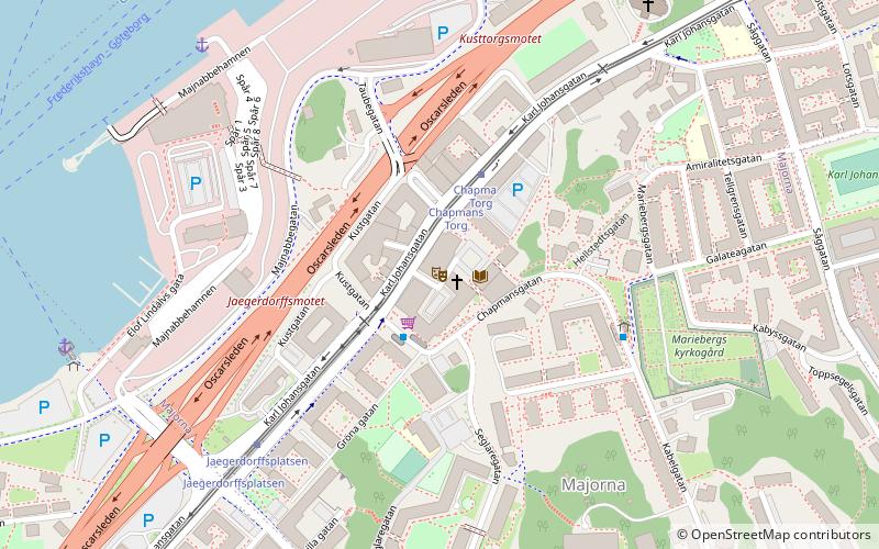
- Jaegerdorffsplatsen • Lines: 3, 9 (16 min walk)
- Chapmans Torg • Lines: 3, 9 (18 min walk)


