Pålsundsbron, Stockholm
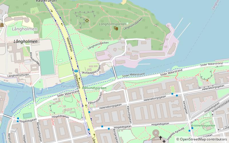
Map

Map

Facts and practical information
Address
Södermalm (Reimersholme - Långholmen)Stockholm
ContactAdd
Social media
Add
Day trips
Pålsundsbron – popular in the area (distance from the attraction)
Nearby attractions include: Stockholm City Hall, Zinkensdamms IP, Smedsuddsbadet, Västerbron.
Frequently Asked Questions (FAQ)
Which popular attractions are close to Pålsundsbron?
Nearby attractions include Heleneborg, Stockholm (2 min walk), Långholmens spinnhus, Stockholm (3 min walk), Högalidskyrkan, Stockholm (6 min walk), Långholmsbron, Stockholm (6 min walk).
How to get to Pålsundsbron by public transport?
The nearest stations to Pålsundsbron:
Bus
Metro
Tram
Ferry
Train
Bus
- Högalidsgatan • Lines: 4, 54, 74, 77, 94 (4 min walk)
- Långholmsgatan • Lines: 66 (4 min walk)
Metro
- Hornstull • Lines: 13, 14 (8 min walk)
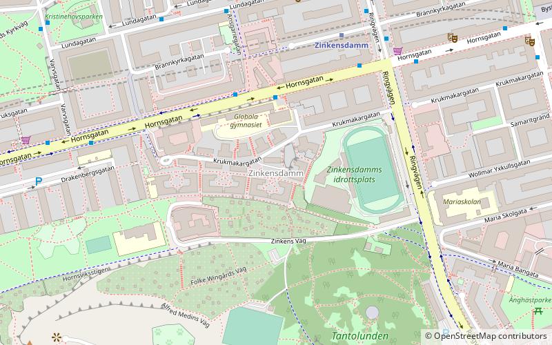
- Zinkensdamm • Lines: 13, 14 (15 min walk)
Tram
- Trekanten • Lines: 30 (18 min walk)
- Liljeholmen • Lines: 30 (19 min walk)
Ferry
- Lilla Essingen • Lines: 89, Båt (24 min walk)
- Klara Mälarstrand • Lines: 89 (26 min walk)
Train
- Stockholms södra (27 min walk)
- Stockholms central (29 min walk)

 Metro
Metro Rail network map


