Morast skans, Charlottenberg
Map

Map

Facts and practical information
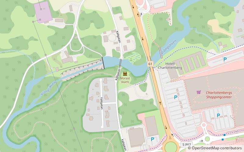
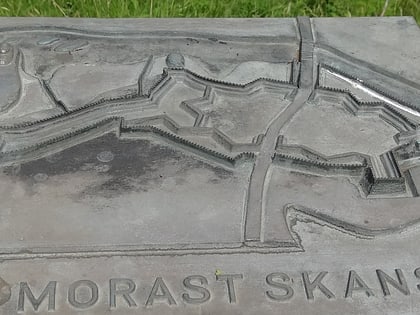
Morast skans was a defensive structure, originally built in 1644, south of the Vrångsälven river at present-day Charlottenberg in western Värmland. The skansen area has been used for defence against attacks from Norway into the 20th century, but is now part of the Tallmon Nature Reserve, and is managed by Eda Municipality.
Coordinates: 59°52'54"N, 12°16'59"E
Address
Charlottenberg
ContactAdd
Social media
Add
Day trips
Morast skans – popular in the area (distance from the attraction)
Nearby attractions include: Bust of Charlotta Berg.

