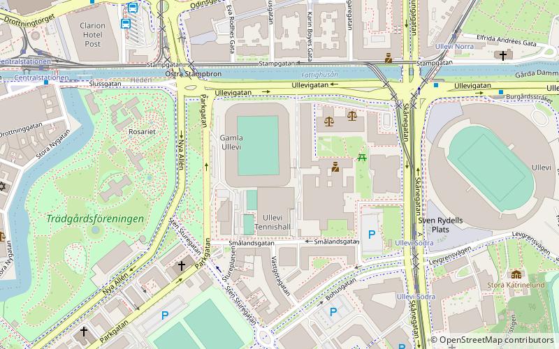
Idrottsplatsen, Gothenburg
Map

Map

Facts and practical information
Idrottsplatsen is a former sports stadium in Gothenburg, Sweden. The stadium was in use between 1896 and 1915, and was located on the same site as the current Gamla Ullevi stadium. ()
Alternative names: Opened: 28 June 1896 (129 years ago)Capacity: 600Coordinates: 57°42'21"N, 11°58'51"E
Address
HedenGothenburg
ContactAdd
Social media
Add
Day trips
Idrottsplatsen – popular in the area (distance from the attraction)
Nearby attractions include: Nordstan, Stora Teatern, Kungsportsavenyen, Scandinavium.
Frequently Asked Questions (FAQ)
Which popular attractions are close to Idrottsplatsen?
Nearby attractions include Christ the King Church, Gothenburg (4 min walk), Trädgårdsföreningen, Gothenburg (6 min walk), Gothenburg Synagogue, Gothenburg (8 min walk), Heden, Gothenburg (9 min walk).
How to get to Idrottsplatsen by public transport?
The nearest stations to Idrottsplatsen:
Tram
Bus
Train
Ferry
Tram
- Ullevi Södra • Lines: 13, 2, 6, 8 (5 min walk)
- Ullevi Norra • Lines: 1, 3, 6, 8 (7 min walk)
Bus
- Polhemsplatsen • Lines: 173, 503, 513, 519, X3 (6 min walk)
- Ullevi Norra • Lines: 60 (6 min walk)
Train
- Gothenburg Central (10 min walk)
Ferry
- Stenpiren • Lines: 285 Älvsnabben, 286 Älvsnabbare (23 min walk)


