Byrum's raukar, Öland
Map

Map

Facts and practical information
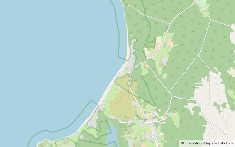
Byrums raukar are a geological formation of a group of rauks on the western shore in the north of Öland, Sweden near the village of Byrum. The group consists of about 120 limestone stacks, rich in fossils, of up to 4 m high on a 600 m stretch of beach. The area is about 3 hectares, is a Natural Monument III and a nature reserve since 1935. ()
Local name: Byrums raukar Area: 7.07 acres (0.011 mi²)Elevation: 7 ft a.s.l.Coordinates: 57°13'31"N, 16°57'17"E
Address
Öland
ContactAdd
Social media
Add
Day trips
Byrum's raukar – popular in the area (distance from the attraction)
Nearby attractions include: Högby Lighthouse, Horns Kungsgård, Böda kronopark, Hornsjön.


