Folkungagatan, Stockholm
Map

Gallery

Facts and practical information
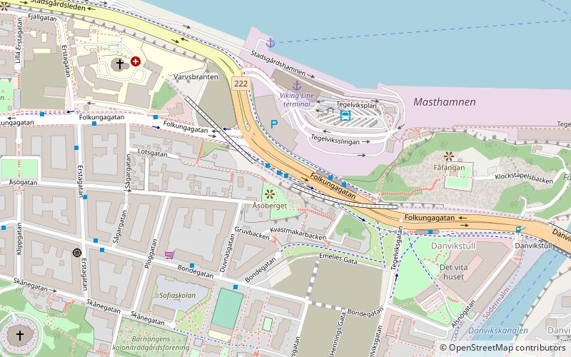
Folkungagatan is a major thoroughfare and business street located at Södermalm in Stockholm, Sweden. The street runs between Söderledstunneln and Danviksbro. The street was named in 1885 and refers to the medieval House of Folkung. ()
Day trips
Folkungagatan – popular in the area (distance from the attraction)
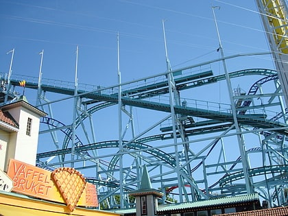
Nearby attractions include: Gröna Lund, Baltic Sea Science Center, Kvasten, Insane.
Frequently Asked Questions (FAQ)
Which popular attractions are close to Folkungagatan?
Nearby attractions include Toy Museum Stockholm, Stockholm (6 min walk), Spårvägsmuseet, Stockholm (6 min walk), Masthamnen (7 min walk), Danviksbro, Stockholm (8 min walk).
How to get to Folkungagatan by public transport?
The nearest stations to Folkungagatan:
Bus
Ferry
Train
Tram
Metro
Bus
- Londonviadukten • Lines: 401, 402, 402X, 403, 405, 409, 410, 411C, 413, 414, 420, 422, 423, 425, 428X, 429X, 430X, 432, 433, 434, 435, 435C, 436, 437, 438, 439, 440, 441, 442, 442X, 443, 444, 445, 445C, 446, 446C, 447, 448C, 449, 471, 474, 480C, 491, 492, 496, 497, 53, 55, 71 (1 min walk)
- Sofiaskolan • Lines: 2, 66, 93 (4 min walk)
Ferry
- Viking Line: Stadsgården, Stockholm • Lines: Viking Line (4 min walk)
- Masthamnen (10 min walk)
Train
- Henriksdal (12 min walk)
- Sickla (27 min walk)
Tram
- Skansen • Lines: 7 (17 min walk)
- Djurgårdsskolan • Lines: 7 (17 min walk)
Metro
- Medborgarplatsen • Lines: 17, 18, 19 (21 min walk)
- Skanstull • Lines: 17, 18, 19 (22 min walk)

 Metro
Metro Rail network map


