Kolmården
Map

Map

Facts and practical information
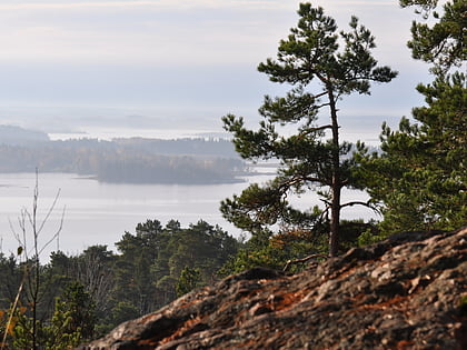
Kolmården is a long and wide densely forested rocky ridge that separates the Swedish provinces of Södermanland and Östergötland, two of the country's main agricultural areas, from each other, and in historic times, along with Tylöskog and Tiveden, formed the border between the land of the Swedes and the land of the Geats. ()
Location
Östergötland
ContactAdd
Social media
Add
Day trips
Kolmården – popular in the area (distance from the attraction)
Nearby attractions include: Tropicarium Kolmården, Kolmården Wildlife Park.


