Götaälvbron, Gothenburg
Map

Map

Facts and practical information
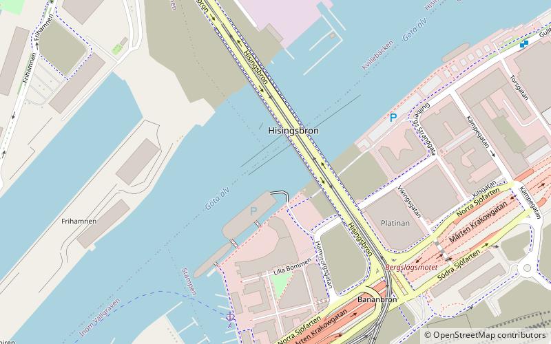
Götaälvbron was a bascule bridge in central Gothenburg, Sweden, carrying normal road vehicles and trams. The bridge was constructed in 1937 to 1939 and in 1966 it was widened. It was closed for decommissioning in June 2021. Constructed of steel beam, the bridge had a total length of 927 m and width of 20 m. The mid span had a free height of 19.5 m. ()
Day trips
Götaälvbron – popular in the area (distance from the attraction)
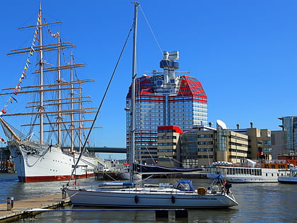
Nearby attractions include: Nordstan, Stora Teatern, Lilla Bommen Building, Gamla Ullevi.
Frequently Asked Questions (FAQ)
Which popular attractions are close to Götaälvbron?
Nearby attractions include Viking, Gothenburg (3 min walk), Lilla Bommen Building, Gothenburg (5 min walk), Götatunneln, Gothenburg (6 min walk), The Göteborg Opera, Gothenburg (8 min walk).
How to get to Götaälvbron by public transport?
The nearest stations to Götaälvbron:
Bus
Tram
Train
Ferry
Bus
- Vikingsgatan • Lines: 59 (4 min walk)
- Operan • Lines: 194, 241, Buss 193, Buss 196, Röd, X2 (7 min walk)
Tram
- Lilla Bommen • Lines: 10, 5 (9 min walk)
- Nordstan (10 min walk)
Train
- Gothenburg Central (11 min walk)
Ferry
- Stenpiren • Lines: 285 Älvsnabben, 286 Älvsnabbare (18 min walk)
- Lindholmspiren • Lines: 285 Älvsnabben, 286 Älvsnabbare (31 min walk)


