Bockeberget, Stora Dyrön

Gallery (1)
Map
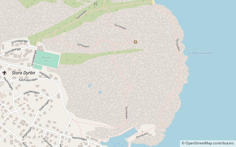
Map
Facts and practical information
Bockeberget is a place located in Stora Dyrön (Västra Götaland county) and belongs to the category of museum.
It is situated at an altitude of 154 feet, and its geographical coordinates are 57°55'44"N latitude and 11°37'7"E longitude.
Among other places and attractions worth visiting in the area are: Klädesholmen (village, 77 min walk), Ringens varv, Marstrand (sailing, 78 min walk), Marstrand Church, Marstrand (church, 82 min walk).
Coordinates: 57°55'44"N, 11°37'7"E
Address
Stora Dyrön
ContactAdd
Social media
Add
Day trips


