Sliperiet, Grums

Gallery (1)
Map
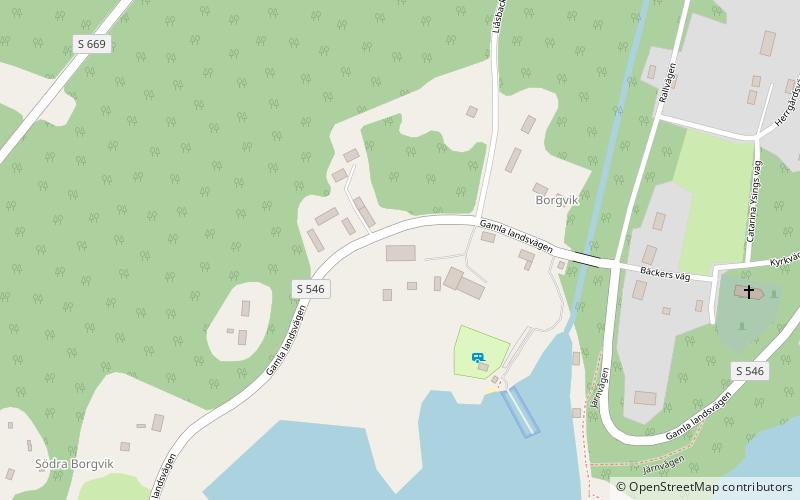
Map
Facts and practical information
Sliperiet (address: Gamla landsvägen 6) is a place located in Grums (Värmland county) and belongs to the category of art gallery, museum.
It is situated at an altitude of 187 feet, and its geographical coordinates are 59°20'59"N latitude and 12°57'9"E longitude.
Among other places and attractions worth visiting in the area are: Grums bibliotek (library, 142 min walk).
Coordinates: 59°20'59"N, 12°57'9"E
Day trips
Sliperiet – popular in the area (distance from the attraction)
Nearby attractions include: Grums bibliotek.
