Kungshatt, Stockholm
Map

Map

Facts and practical information
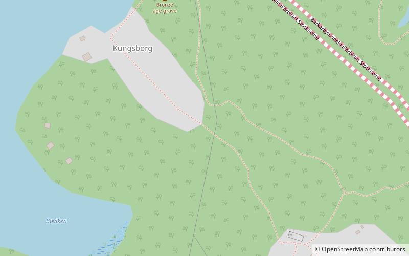
Kungshatt is a small island in Lake Mälaren, Stockholm, Sweden. Roughly 1.9 square kilometers in area, it has a very small year-round population, and a number of summer houses. The island has an independent water supply, but receives its electricity from the mainland. The island is named after the copper hat put in place on top of a cliff facing towards Vårberg. According to legend, a Swedish king jumped off the cliff while fleeing from his enemies, dropping his hat in the process. ()
Address
Stockholm
ContactAdd
Social media
Add
Day trips
Kungshatt – popular in the area (distance from the attraction)
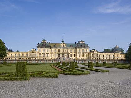
Nearby attractions include: Drottningholm Palace, Kina slott, Drottningholm Palace Theatre, Skärholmen Centrum.
Frequently Asked Questions (FAQ)
How to get to Kungshatt by public transport?
The nearest stations to Kungshatt:
Ferry
Bus
Ferry
- Kungshättan • Lines: 89 (21 min walk)
Bus
- Tillflykten • Lines: 176, 177, 301, 302, 303, 305, 309, 311, 312, 317, 325, 336, 338, 396 (27 min walk)
- Lovö Edeby • Lines: 176, 177, 301, 302, 303, 305, 309, 311, 312, 317, 325, 336, 338, 396 (30 min walk)

 Metro
Metro Rail network map


