Lidingö, Stockholm
Map
Gallery
Facts and practical information
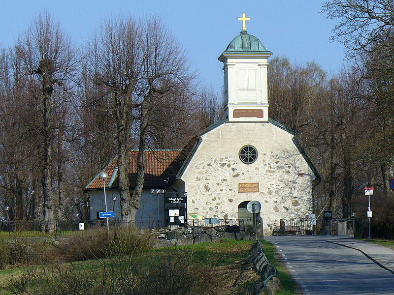
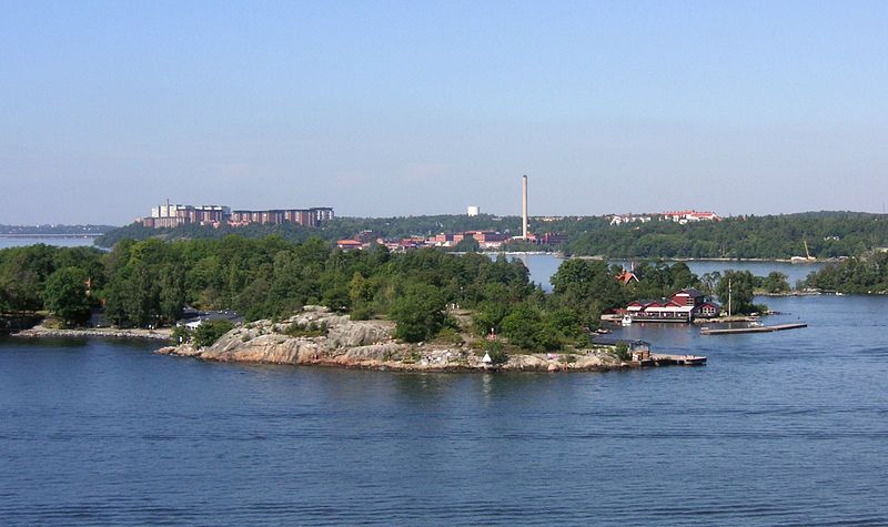
Lidingö, also known in its definite form Lidingön and as Lidingölandet, is an island in the inner Stockholm archipelago, northeast of Stockholm, Sweden. In 2010, the population of the Lidingö urban area on the island was 31,561. It is the seat of government of the Lidingö Municipality, Stockholm County. ()
Address
Stockholm
ContactAdd
Social media
Add
Day trips
Lidingö – popular in the area (distance from the attraction)
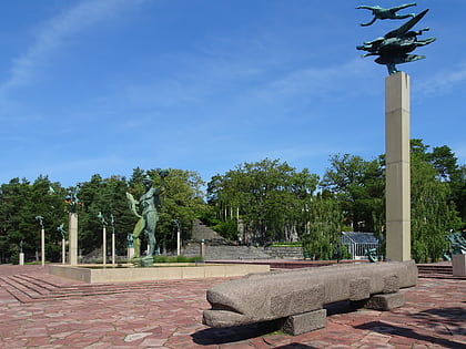
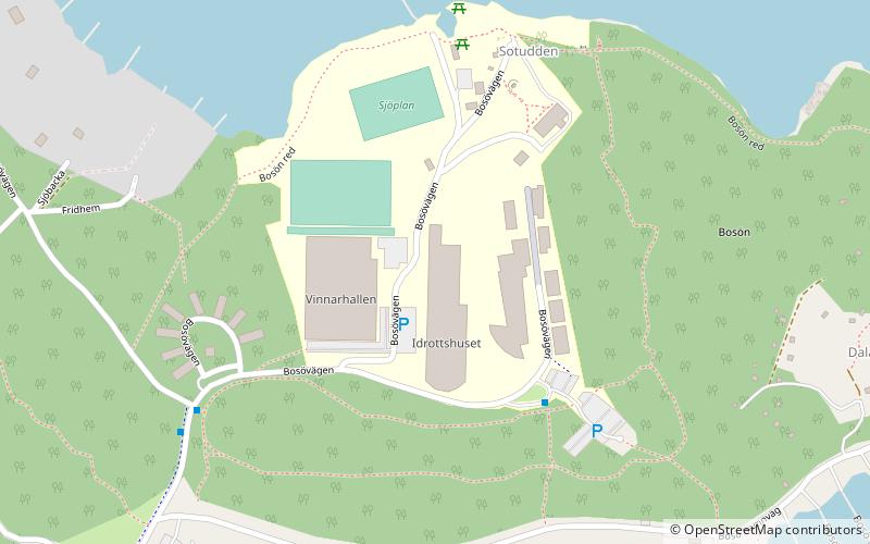
Nearby attractions include: Millesgården, Lidingö Cemetery, Bosön, Rudboda.
Frequently Asked Questions (FAQ)
How to get to Lidingö by public transport?
The nearest stations to Lidingö:
Bus
Tram
Ferry
Bus
- Hersby gymnasium • Lines: 201, 238 (5 min walk)
- Kvarnen • Lines: 204, 211, 212, 238, 293 (5 min walk)
Tram
- Baggeby • Lines: 21 (21 min walk)
- Bodal • Lines: 21 (23 min walk)
Ferry
- Värtahamnen, Stockholm • Lines: Tallink (37 min walk)





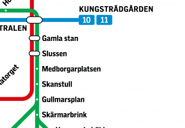 Metro
Metro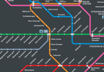 Rail network map