Lindholmen, Karlskrona
Map
Map

Facts and practical information
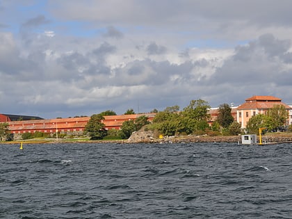
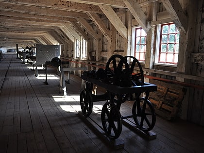
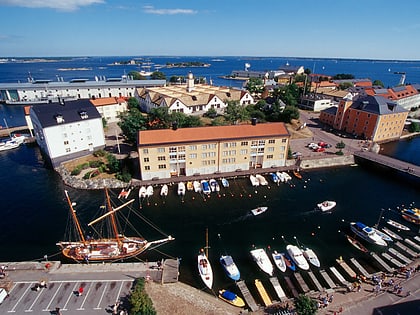
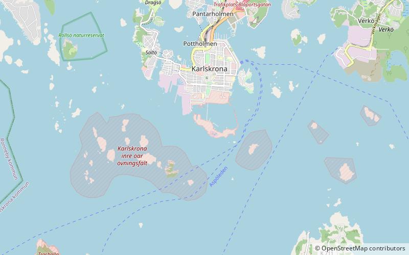
Lindholmen is a small island to the immediate south of the city of Karlskrona in the south east of Sweden. Since the end of the 17th century, it has formed part of the Karlskrona Naval Base. It contains a number of facilities for the base including the Polhem Dock and the Ropewalk. ()
Coordinates: 56°9'4"N, 15°35'6"E
Address
Karlskrona
ContactAdd
Social media
Add
Day trips
Lindholmen – popular in the area (distance from the attraction)
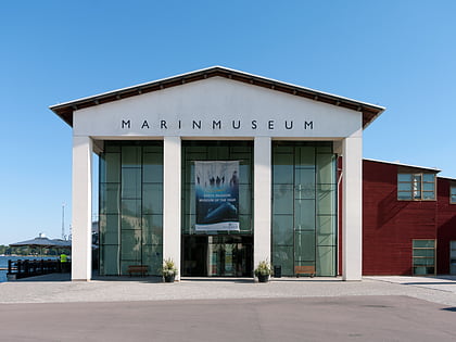
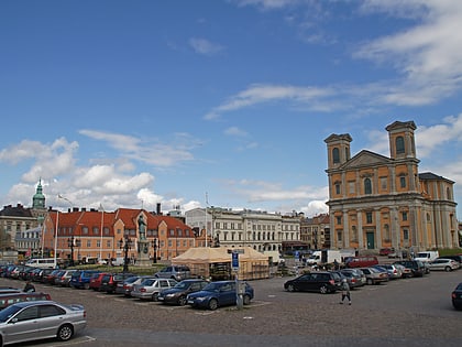
Nearby attractions include: Marinmuseum, Fredrik Church, Rosenbom, Trinity Church.
Frequently Asked Questions (FAQ)
Which popular attractions are close to Lindholmen?
Nearby attractions include Ropewalk, Karlskrona (1 min walk), Karlskrona naval base, Karlskrona (6 min walk), Hedvig Eleonora Church, Karlskrona (12 min walk), Karlskrona Admiralty Church, Karlskrona (12 min walk).
How to get to Lindholmen by public transport?
The nearest stations to Lindholmen:
Bus
Ferry
Bus
- Amiralitetstorget • Lines: 5 Snabbuss (15 min walk)
- Alamedan • Lines: 5 Snabbuss (15 min walk)
Ferry
- Fisktorget (22 min walk)
