Lövstagatan, Örebro

Gallery (1)
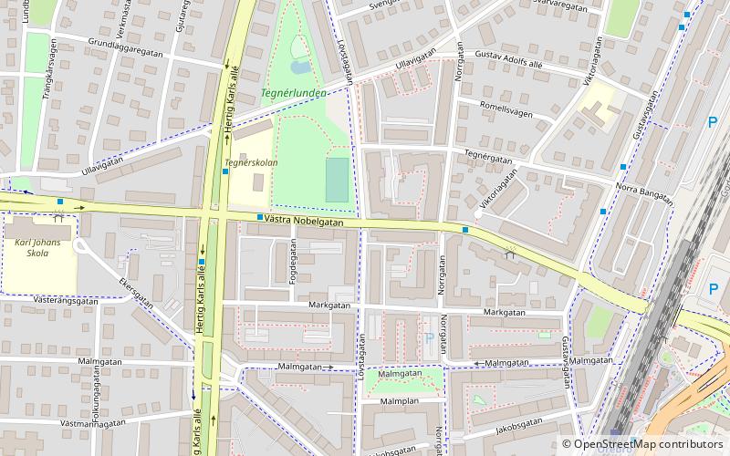
Map
Map
Facts and practical information
Lövstagatan (address: Lövstagatan 4) is a place located in Örebro (Orebro county) and belongs to the category of square.
It is situated at an altitude of 112 feet, and its geographical coordinates are 59°16'50"N latitude and 15°12'17"E longitude.
Planning a visit to this place, one can easily and conveniently get there by public transportation. Lövstagatan is a short distance from the following public transport stations: Örebro C (train, 7 min walk), Örebro C (bus, 8 min walk).
Among other places and attractions worth visiting in the area are: Olaus Petri kyrka (cemetery, 14 min walk), Örebro Castle (history museum, 15 min walk), Saint Nicholas Church (church, 16 min walk).
Coordinates: 59°16'50"N, 15°12'17"E
Address
Lövstagatan 4Örebro
ContactAdd
Social media
Add
Getting there by public transportation
Public transportation stops near this location
- Bus
- Train
 Bus
Bus
- Calculate routeÖrebro C 7 min walk
- Calculate routeÖrebro Södra 20 min walk
- Calculate routeÖrebro C 8 min walk
- Calculate routeSödra Grev Rosengatan 19 min walk
Day trips


Frequently Asked Questions (FAQ)
Which popular attractions are close to Lövstagatan?
Nearby attractions include Olaus Petri kyrka, Örebro (14 min walk), Örebro Castle, Örebro (15 min walk), Saint Nicholas Church, Örebro (16 min walk), Norra Vattentornet, Örebro (19 min walk).
How to get to Lövstagatan by public transport?
The nearest stations to Lövstagatan:
Train
Bus
Train
- Örebro C (7 min walk)
- Örebro Södra (20 min walk)
Bus
- Örebro C • Lines: 600, 609, N600 (8 min walk)
- Södra Grev Rosengatan (19 min walk)