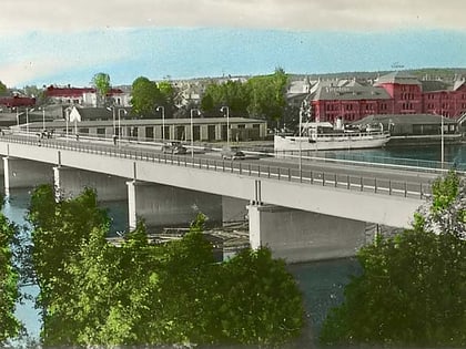
Broparken, Umeå
Map
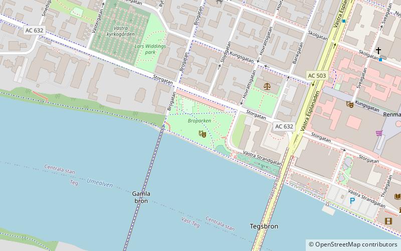
Map

Facts and practical information
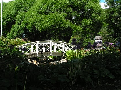
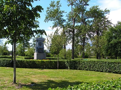
Broparken in Umeå was built in 1897. The park is located on a south-facing slope down to the Strandpromenaden on the Ume River, next to the Old Bridge, and consists of a large grassy area with large old trees, including poplar and oak. Thanks to the seating areas - and after the rebuilding also "food carts" - near Storgatan and the park's contact with the river, it is a popular place in summer. In recent days, sports enthusiasts have started to use the park's sloping nature as a base for rigging a small ski and snowboard slope during the winter months.
Elevation: 13 ft a.s.l.Coordinates: 63°49'34"N, 20°15'6"E
Day trips
Broparken – popular in the area (distance from the attraction)
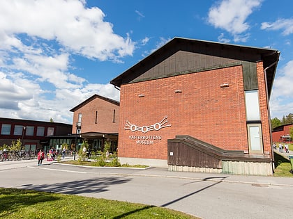
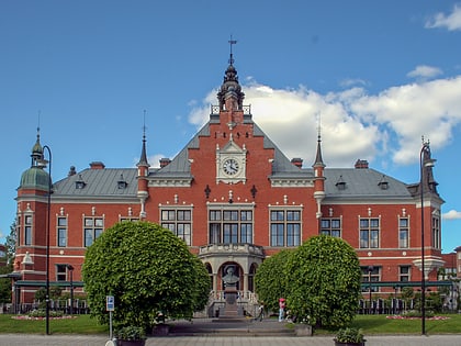
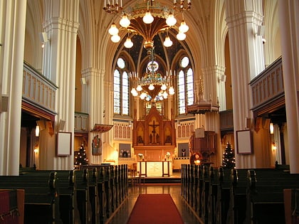
Nearby attractions include: Västerbottens museum, City Hall, Umeå stads kyrka, Navet.
Frequently Asked Questions (FAQ)
Which popular attractions are close to Broparken?
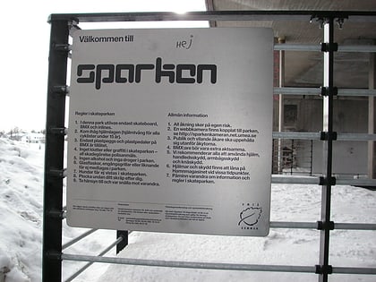
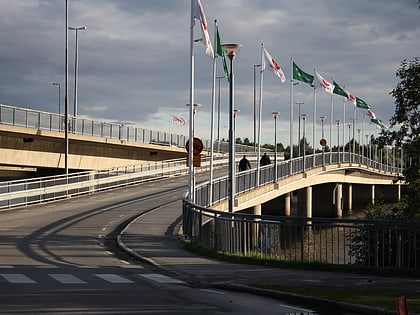
Nearby attractions include Gamla bron, Umeå (3 min walk), Sparken, Umeå (3 min walk), Tegsbron, Umeå (4 min walk), City Hall, Umeå (9 min walk).
How to get to Broparken by public transport?
The nearest stations to Broparken:
Bus
Train
Bus
- Stadshuset • Lines: 1, 7 (5 min walk)
- Nygatan • Lines: 3, 5, 8 (7 min walk)
Train
- Umeå Central (14 min walk)

