Smygehuk Lighthouse
Map

Map

Facts and practical information
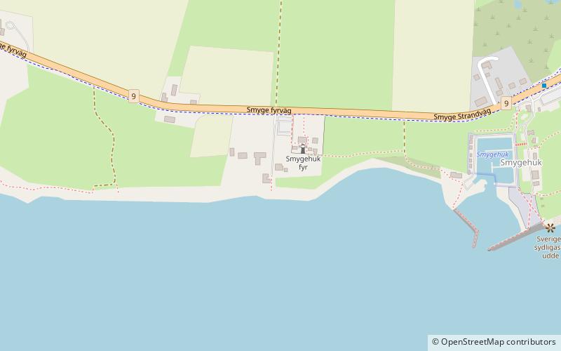
Smygehuk Lighthouse is a lighthouse in Trelleborg Municipality in Sweden. It is situated approximately 1.5 kilometres west of Smygehamn, and is 17 metres high and constructed of iron. It was completed in 1883, and taken out of service in 1975 in favor of the offshore Kullagrundet Lighthouse. Following an initiative by Trelleborg Municipality, among others, it was relit in April 2001. Smygehuk Lighthouse is located at Smygehuk, near the southernmost tip of Sweden and the Scandinavian Peninsula. ()
Coordinates: 55°20'17"N, 13°21'7"E
Location
Smyge fyrväg 194Skåne
ContactAdd
Social media
Add
Day trips
Smygehuk Lighthouse – popular in the area (distance from the attraction)
Nearby attractions include: Jordberga Castle, Gislöv Church, Dalköpinge Church, Östra Torps kyrka.


