Skurups folkhögskola, Skurup
Map

Map

Facts and practical information
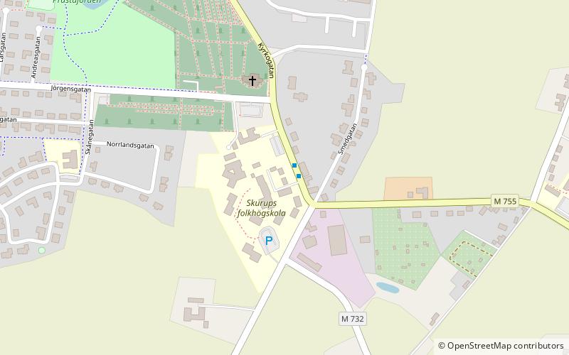
Skurups folkhögskola (address: Kyrkogatan 68) is a place located in Skurup (Skåne county) and belongs to the category of universities and schools, hotel, nature hotel.
It is situated at an altitude of 197 feet, and its geographical coordinates are 55°28'15"N latitude and 13°30'38"E longitude.
Among other places and attractions worth visiting in the area are: Skurups kyrka (church, 4 min walk), Näsbyholm Castle (forts and castles, 51 min walk), Svaneholms slott (museum, 62 min walk).
Coordinates: 55°28'15"N, 13°30'38"E
Address
Kyrkogatan 68Skurup
ContactAdd
Social media
Add
Day trips
Skurups folkhögskola – popular in the area (distance from the attraction)
Nearby attractions include: Svaneholms slott, Skurups kyrka, Jordberga Castle, Dybäck Castle.


