Strömstads museum, Strömstad

Gallery (1)
Map
Map
Facts and practical information
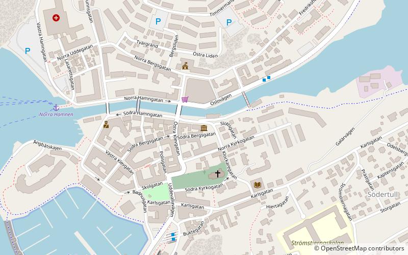
Strömstads museum (address: Södra Hamngatan 26) is a place located in Strömstad (Västra Götaland county) and belongs to the category of museum.
It is situated at an altitude of 39 feet, and its geographical coordinates are 58°56'21"N latitude and 11°10'31"E longitude.
Among other places and attractions worth visiting in the area are: Massleberg 1 rock art (archaeological site, 136 min walk), Koster Islands (island, 144 min walk).
Coordinates: 58°56'21"N, 11°10'31"E
Day trips

