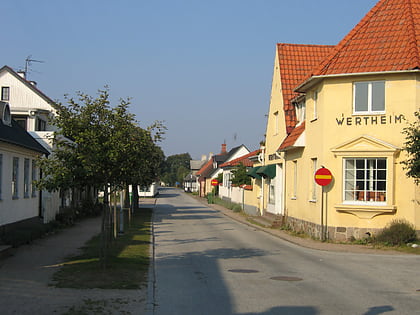
Måkläppen, Falsterbo
Map
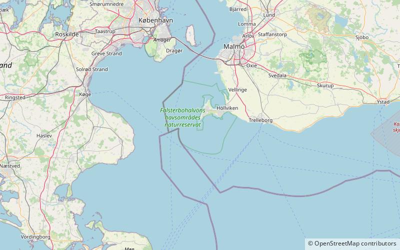
Map

Facts and practical information
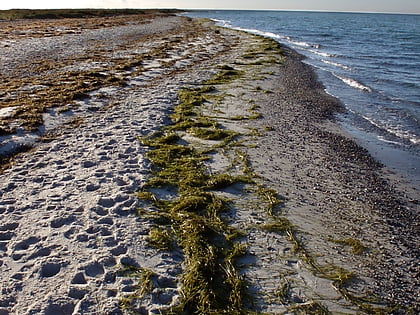
Måkläppen is a nature reserve that stands out from the Falsterbo peninsula, in south western Sweden. It was created by sandbanks built on top of a moraine core. The Måkläppen nature reserve and nature conservation association was formed in 1899. The appearance of Måkläppen changes as sand builds up and is taken away by ocean currents, wind, storm surge and high tide. These processes, in addition to abrasion, beach erosion removes the sand previously sent there. ()
Local name: Måkläppens naturreservat Area: 2.95 mi²Elevation: 0 ft a.s.l.Coordinates: 55°21'40"N, 12°48'44"E
Address
Falsterbo
ContactAdd
Social media
Add
Day trips
Måkläppen – popular in the area (distance from the attraction)
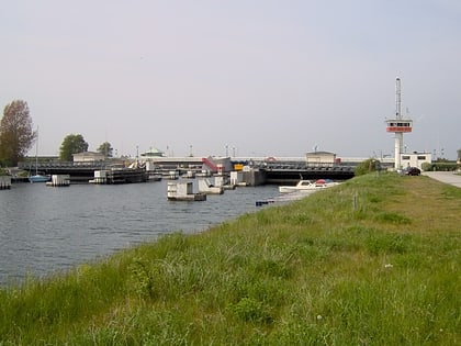
Nearby attractions include: Foteviken Museum, Falsterbo Lighthouse, Skanörs hamn, Falsterbo Canal.
