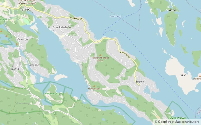
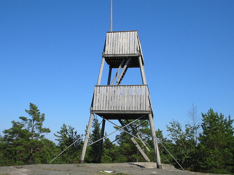
Telegrafberget, Södertörn

Gallery (2)
Map
Map
Gallery
Facts and practical information
Telegrafberget, Tyresö has the highest point in Tyresö Municipality, Sweden, 84 m above sea level. On the top of it there is a watchtower with a view all the way to central Stockholm, Dalarö and Gustavsberg. Telegrafberget is located on the Brevik peninsula. ()
Address
Södertörn
ContactAdd
Social media
Add
Getting there by public transportation
Public transportation stops near this location
- Bus
- Ferry
 Bus
Bus
- Calculate routeTegelbruksvägen 14 min walk
- Calculate routeTrinntorp 14 min walk
- Calculate routeBjörndalen 14 min walk
- Calculate routeTyresö 17 min walk
Day trips


Frequently Asked Questions (FAQ)
How to get to Telegrafberget by public transport?
The nearest stations to Telegrafberget:
Bus
Ferry
Bus
- Tegelbruksvägen • Lines: 805, 819 (14 min walk)
- Trinntorp • Lines: 805, 819 (14 min walk)
Ferry
- Tyresö • Lines: 17, 18 (17 min walk)