Stambanan genom övre Norrland, Vindeln

Gallery (1)
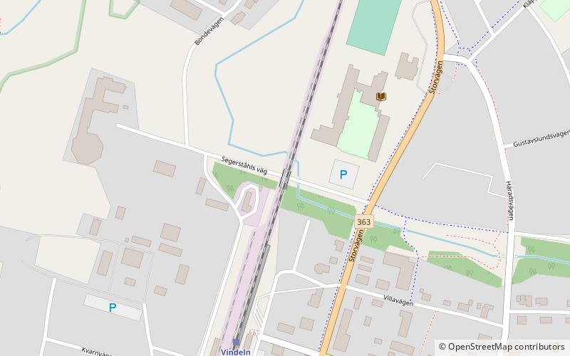
Map
Map
Facts and practical information
Stambanan genom övre Norrland (address: Järnvägsallén 3) is a place located in Vindeln (Västerbotten county) and belongs to the category of bridge.
It is situated at an altitude of 525 feet, and its geographical coordinates are 64°12'19"N latitude and 19°42'53"E longitude.
Among other places and attractions worth visiting in the area are: Konst i kvarn (museum, 13 min walk).
Coordinates: 64°12'19"N, 19°42'53"E
Address
Järnvägsallén 3Vindeln
ContactAdd
Social media
Add
Day trips
Stambanan genom övre Norrland – popular in the area (distance from the attraction)
Nearby attractions include: Konst i kvarn.
