Bollhusgränd, Stockholm
Map
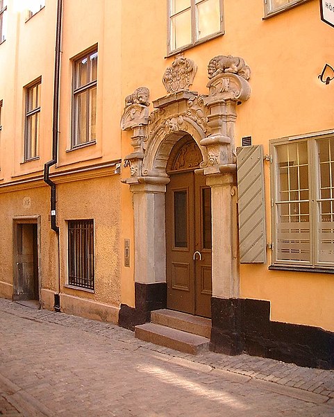
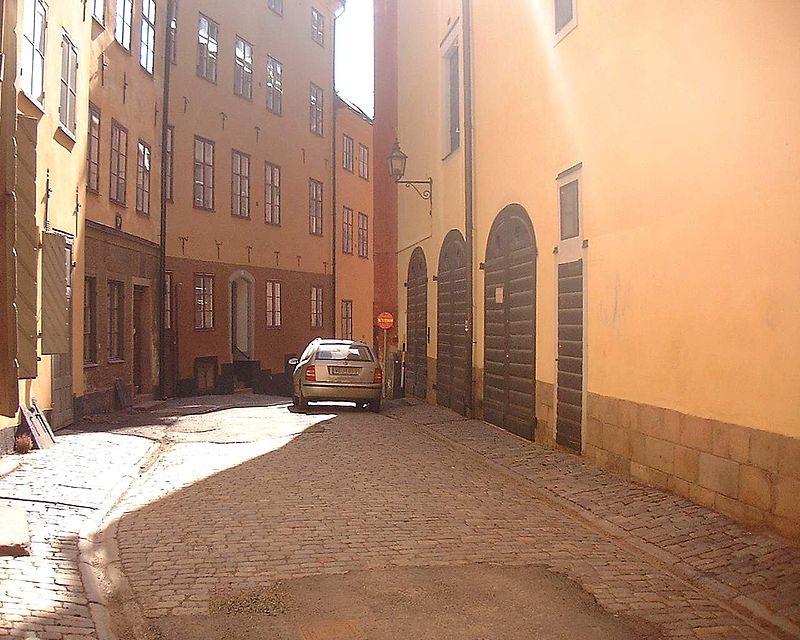
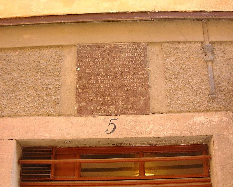
Gallery
Facts and practical information
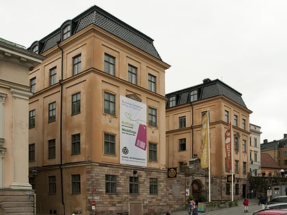
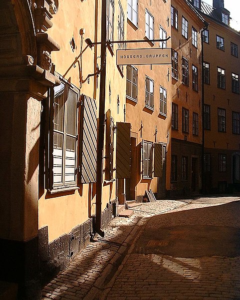
Bollhusgränd is an alley in Gamla stan, the old town in central Stockholm, Sweden. Named after Bollhuset, a historical theatre, it connects Slottsbacken to Köpmantorget, and as Baggensgatan extends the alley further south beyond Köpmangatan, together they form a parallel street to Österlånggatan and Själagårdsgatan. ()
Address
Södermalm (Storkyrkan)Stockholm
ContactAdd
Social media
Add
Day trips
Bollhusgränd – popular in the area (distance from the attraction)
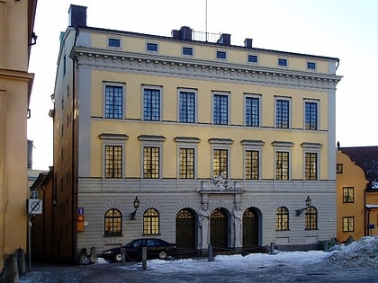
Nearby attractions include: Economy Museum - Royal Coin Cabinet, Tessin Palace, Stora Hoparegränd, Finnish Church.
Frequently Asked Questions (FAQ)
Which popular attractions are close to Bollhusgränd?
Nearby attractions include Köpmantorget, Stockholm (1 min walk), Staffan Sasses Gränd, Stockholm (1 min walk), Peder Fredags Gränd, Stockholm (1 min walk), Köpmanbrinken, Stockholm (1 min walk).
How to get to Bollhusgränd by public transport?
The nearest stations to Bollhusgränd:
Bus
Ferry
Metro
Tram
Train
Bus
- Slottsbacken • Lines: 190, 191, 192, 193, 194, 195, 2, 57, 76, 96 (3 min walk)
- Mälartorget • Lines: 3, 53 (7 min walk)
Ferry
- Slussen • Lines: 18, 24, 82 (5 min walk)
- Strömkajen • Lines: 12, 13, 14, 18, 24, 8, 9, Royal Canal Tour (8 min walk)
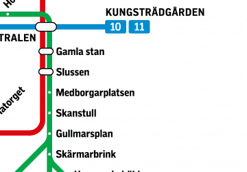
Metro
- Gamla stan • Lines: 13, 14, 17, 18, 19 (7 min walk)
- Kungsträdgården • Lines: 10, 11 (11 min walk)
Tram
- Kungsträdgården • Lines: 7 (14 min walk)
- Nybroplan • Lines: 7 (14 min walk)
Train
- Stockholms central (21 min walk)
- Stockholm City (18 min walk)



 Metro
Metro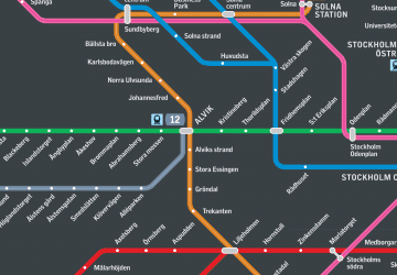 Rail network map