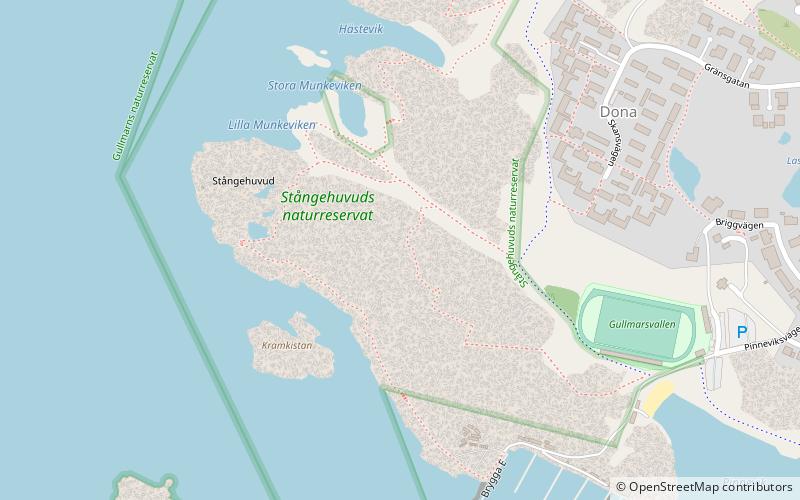
Stångehuvud

Gallery (2)
Map
Map
Gallery
Facts and practical information
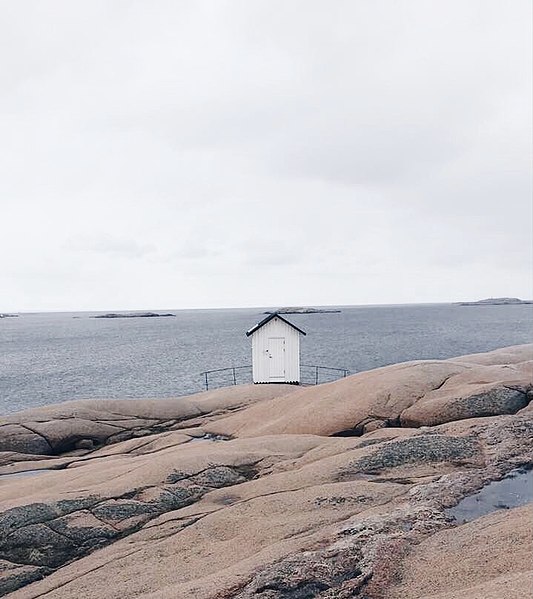
Stångehuvud is a nature reserve in Lysekil Municipality, Västra Götaland County, Sweden. It is located on the south tip of Stångenäset peninsula, adjacent the town of Lysekil. The reserve is known for its red Bohus granite. The granite was formed about 920 million years ago and the cliffs were later shaped by the ice during the last glacial period. ()
Alternative names: Area: 116.51 acres (0.182 mi²)Elevation: 43 ft a.s.l.Coordinates: 58°16'14"N, 11°25'4"E
Location
Västra Götaland
ContactAdd
Social media
Add
Day trips