Malmskillnadsgatan, Stockholm

Map
Facts and practical information
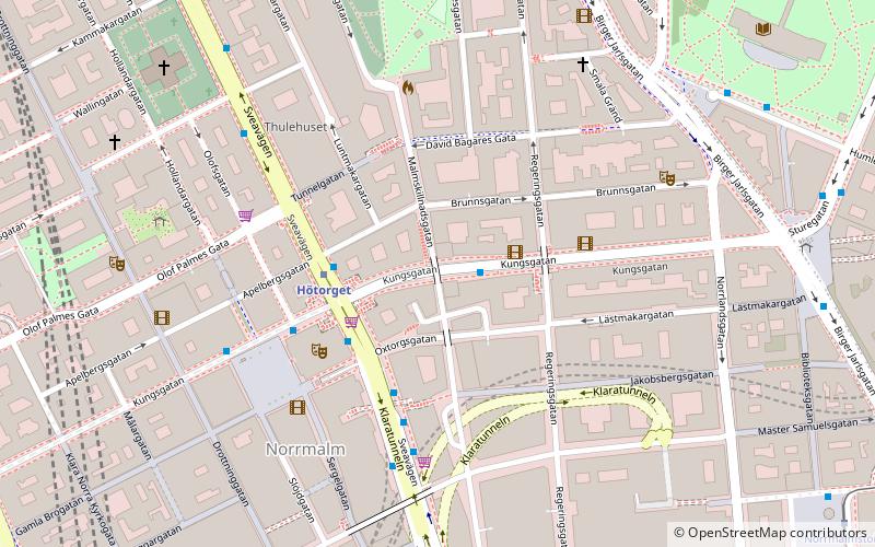
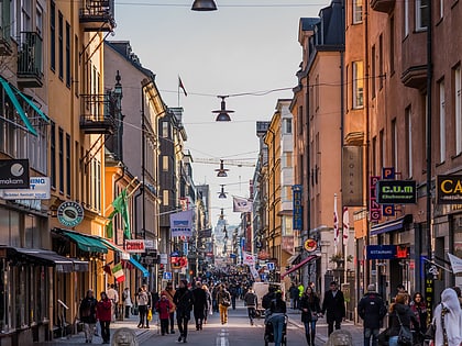
Malmskillnadsgatan is a 650-metre long street in central Stockholm, Sweden. It stretches northward from the Brunkebergstorg square over Hamngatan; crosses Mäster Samuelsgatan and Oxtorgsgatan; passes over the bridge Malmskillnad Bridge passing over Kungsgatan; crosses Brunnsgatan and David Bagares gata; and finally ends at Johannes plan near Döbelnsgatan. ()
Address
Norrmalm (Klara)Stockholm
ContactAdd
Social media
Add
Day trips
Malmskillnadsgatan – popular in the area (distance from the attraction)
Nearby attractions include: Drottninggatan, Biblioteksgatan, Sturecompagniet, NK.
Frequently Asked Questions (FAQ)
Which popular attractions are close to Malmskillnadsgatan?
Nearby attractions include Malmskillnadsbron, Stockholm (1 min walk), Kungstornen, Stockholm (1 min walk), Regeringsgatans bro, Stockholm (2 min walk), Brunkeberg Tunnel, Stockholm (3 min walk).
How to get to Malmskillnadsgatan by public transport?
The nearest stations to Malmskillnadsgatan:
Bus
Metro
Tram
Train
Ferry
Light rail
Bus
- Regeringsgatan • Lines: 1, 291, 75, 91 (2 min walk)
- Hötorget • Lines: 1, 291, 57, 75, 91 (3 min walk)
Metro
- Hötorget • Lines: 17, 18, 19 (2 min walk)
- T-Centralen • Lines: 10, 11, 13, 14, 17, 18, 19 (8 min walk)
Tram
- Kungsträdgården • Lines: 7 (8 min walk)
- T-Centralen • Lines: 7 (8 min walk)
Train
- Stockholm City (9 min walk)
- Stockholms central (13 min walk)
Ferry
- Nybroplan • Lines: 80, Royal Canal Tour (13 min walk)
- Nybrokajen • Lines: Grand Canal Cruise, Strömma Canal Tour (14 min walk)
Light rail
- Stockholms östra • Lines: 27, 28, 29 (20 min walk)
 Metro
Metro Rail network map


