Nacka, Stockholm
Map
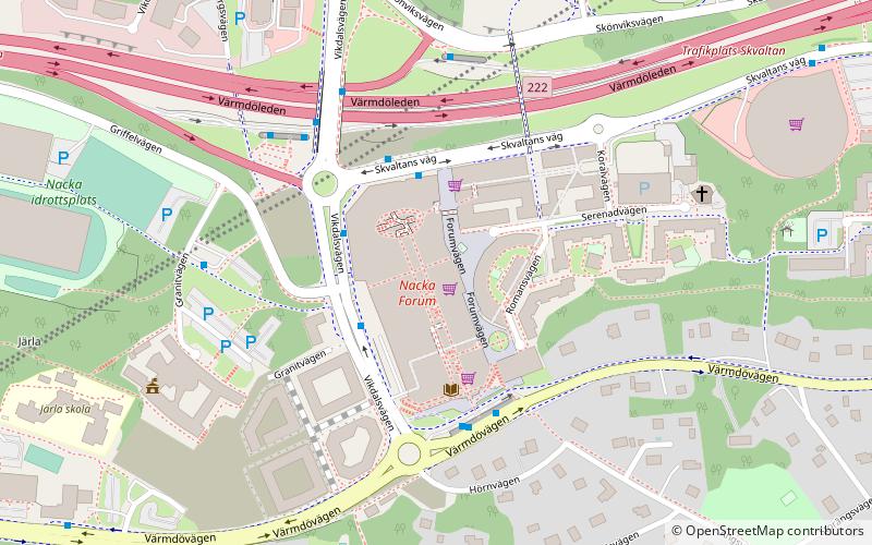
Map

Facts and practical information
Nacka is the municipal seat of Nacka Municipality and part of Stockholm urban area in Sweden. The municipality's name harks back to a 16th-century industrial operation established by the Crown at Nacka farmstead where conditions for water mills are good. However, and somewhat confusingly, that spot is not densely populated today and the municipal seat is on land that once belonged to Järla farmstead on the other side of Lake Järla. ()
Address
Stockholm
ContactAdd
Social media
Add
Day trips
Nacka – popular in the area (distance from the attraction)
Nearby attractions include: Thiel Gallery, Isbladskärret, Svindersvik, Järlasjön.
Frequently Asked Questions (FAQ)
Which popular attractions are close to Nacka?
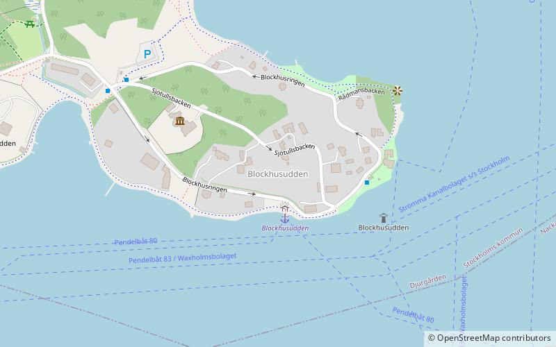
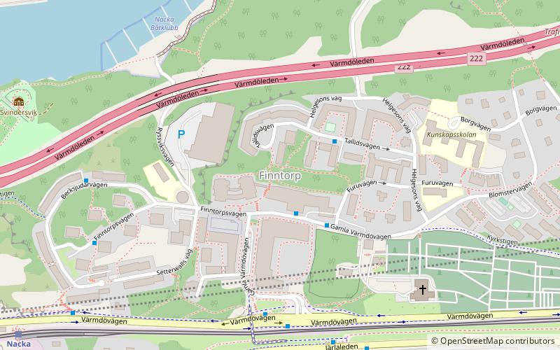
Nearby attractions include Järlasjön, Södertörn (16 min walk), Blockhusudden (24 min walk), Finntorp (24 min walk).
How to get to Nacka by public transport?
The nearest stations to Nacka:
Bus
Train
Ferry
Bus
- Nacka Forum stadshuset • Lines: 402, 465, 469, 71, 840, 93 (2 min walk)
- Nacka Forum norra • Lines: 469 (2 min walk)
Train
- Lillängen (10 min walk)
- Storängen (15 min walk)
Ferry
- Nacka strand • Lines: 12, 13, 14, 18, 8, 80, 9, Cinderella Stockholm ↔ Sandhamn (16 min walk)
- Blockhusudden • Lines: 80 (23 min walk)

 Metro
Metro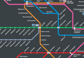 Rail network map


