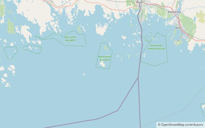
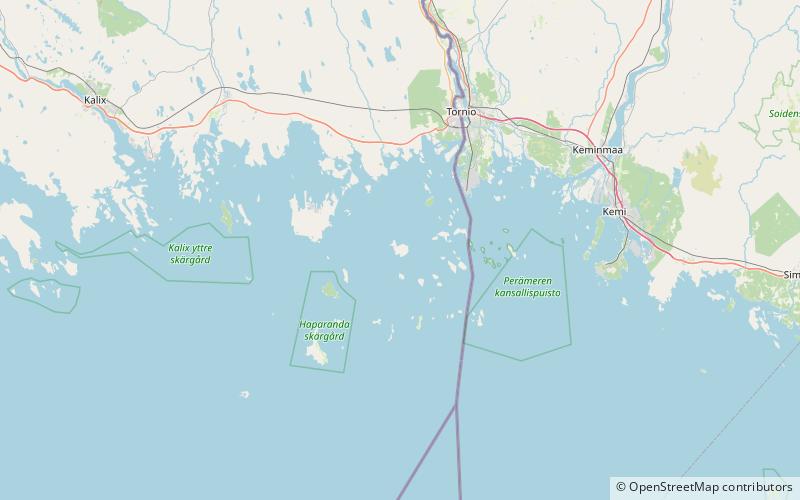
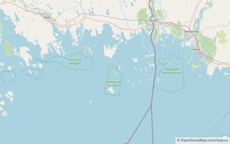
Seskar Furö, Haparanda Archipelago National Park
Map
Facts and practical information
Seskar Furö is an uninhabited island in the northeast of the Swedish sector of the Bay of Bothnia. It is now part of a national park. ()
Area: 1.16 mi²Coordinates: 65°38'40"N, 23°47'10"E
Address
Haparanda Archipelago National Park
ContactAdd
Social media
Add
Day trips