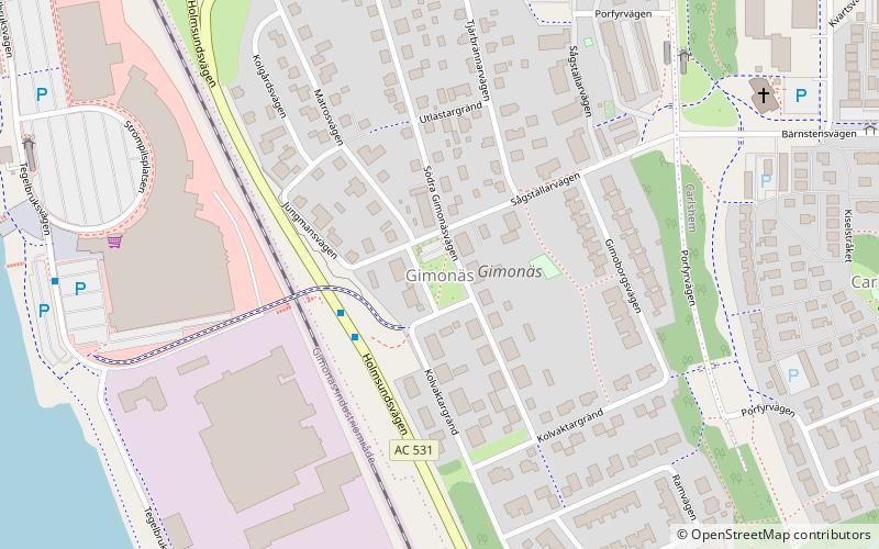
Gimonäs, Umeå
Map
Facts and practical information
Gimonäs is a residential area in Umeå, Sweden. ()
Address
Umeå
ContactAdd
Social media
Add
Getting there by public transportation
Public transportation stops near this location
- Bus
 Bus
Bus
- Calculate routePorfyrvägen 5 min walk
- Calculate routeStrömpilen 7 min walk
- Calculate routeKvartsvägen 7 min walk
- Calculate routeKolbäcksvägen 9 min walk
Day trips


Frequently Asked Questions (FAQ)
Which popular attractions are close to Gimonäs?
Nearby attractions include Carlshöjd, Umeå (7 min walk), Kolbäcksbron, Umeå (11 min walk), Carlshem, Umeå (12 min walk), Sofiehem, Umeå (19 min walk).
How to get to Gimonäs by public transport?
The nearest stations to Gimonäs:
Bus
Bus
- Porfyrvägen • Lines: 9 (5 min walk)
- Strömpilen • Lines: 5 (7 min walk)