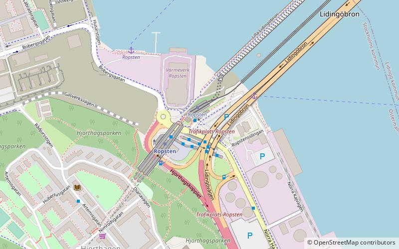
Ropsten, Stockholm
Map
Facts and practical information
Ropsten is a cape at the eastern part of Stockholm mainland at the inner part of Stockholm archipelago in Sweden. Two bridges named Lidingöbron extend from Ropsten over to the island of Lidingö. Ropsten area is located between Hjorthagen and the Stockholm city main port Värtahamnen. Ropsten is the terminal station for the eastern part of Stockholm Metro system and is also the terminal station for Lidingöbanan, the railway for public transportation, covering the area of Lidingö. ()
Address
Östermalm (Hjorthagen - Värtahamnen)Stockholm
ContactAdd
Social media
Add
Getting there by public transportation
Public transportation stops near this location
- Metro
- Bus
- Tram
- Light rail
- Ferry
 Metro
Metro
- Calculate routeRopsten 1 min walk
- Calculate routeAndra Tvärvägen 4 min walk
- Calculate routeNimrodsgatan 6 min walk
- Calculate routeSkogvaktargatan 6 min walk
- Calculate routeRopsten 1 min walk
- Calculate routeTorsvik/Millesgården 15 min walk
- Calculate routeBaggeby 27 min walk
- Calculate routeRopsten 2 min walk
- Calculate routeGärdet 22 min walk
- Calculate routeStadion 35 min walk
- Calculate routeTekniska högskolan 37 min walk
- Calculate routeRopsten 4 min walk
- Calculate routeVärtahamnen, Stockholm 17 min walk
- Calculate routeStockholms östra 36 min walk
Maps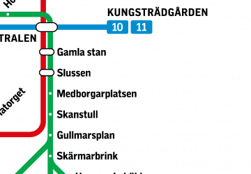 MetroMaps
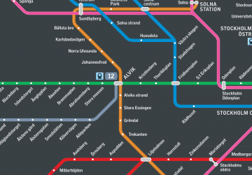 Rail network map
MetroMapsRail network mapDay trips


Frequently Asked Questions (FAQ)
Which popular attractions are close to Ropsten?
Nearby attractions include Hjorthagens kyrka, Stockholm (6 min walk), Lidingöbron, Stockholm (6 min walk), Värtahamnen, Stockholm (13 min walk), Gasklockan, Stockholm (13 min walk).
How to get to Ropsten by public transport?
The nearest stations to Ropsten:
Bus
Tram
Metro
Ferry
Light rail
Bus
- Ropsten • Lines: 201, 203, 204, 205, 206, 211, 212, 221, 222, 225, 291, 293, 6, 75, 76 (1 min walk)
- Andra Tvärvägen • Lines: 76 (4 min walk)
Tram
- Ropsten • Lines: 21 (1 min walk)
- Torsvik/Millesgården • Lines: 21 (15 min walk)
Metro
- Ropsten • Lines: 13 (2 min walk)
- Gärdet • Lines: 13 (22 min walk)
Ferry
- Ropsten • Lines: 80 (4 min walk)
- Värtahamnen, Stockholm • Lines: Silja Line, Tallink (17 min walk)
Light rail
- Stockholms östra • Lines: 27, 28, 29 (36 min walk)