Sofielunds industriområde, Malmö
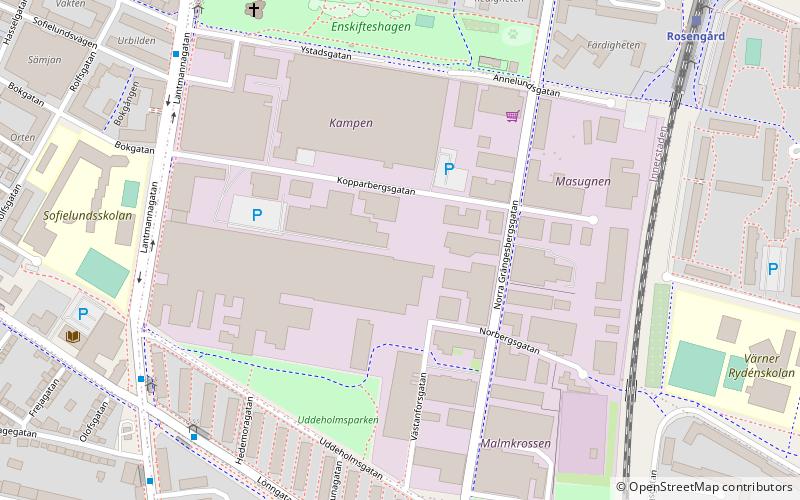
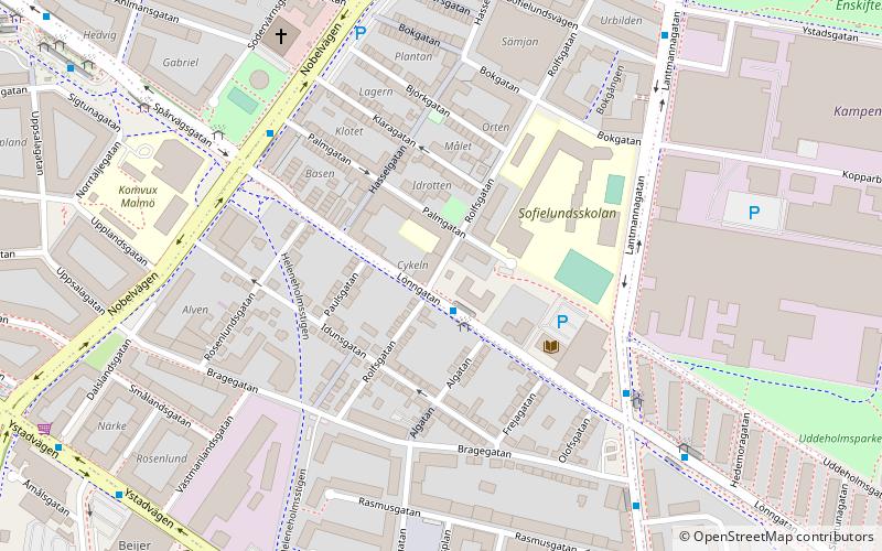
Map
Facts and practical information
Sofielunds industriområde is a neighbourhood of Malmö, situated in the Borough of Södra Innerstaden, Malmö Municipality, Skåne County, Sweden. ()
Address
Södra - Innerstaden (Sofielunds Industriområde)Malmö
ContactAdd
Social media
Add
Getting there by public transportation
Public transportation stops near this location
- Bus
- Train
 Bus
Bus
- Calculate routeSofielund 7 min walk
- Calculate routeYstadsgatan 7 min walk
- Calculate routeLönngården 8 min walk
- Calculate routeAnnelund 9 min walk
- Calculate routeRosengård 8 min walk
- Calculate routePersborg 11 min walk
- Calculate routeTriangeln 28 min walk
Day trips


Frequently Asked Questions (FAQ)
Which popular attractions are close to Sofielunds industriområde?
Nearby attractions include Annelund, Malmö (6 min walk), Lönngården, Malmö (7 min walk), Stadsdelsbiblioteket Garaget, Malmö (8 min walk), Zlatan Court, Malmö (9 min walk).
How to get to Sofielunds industriområde by public transport?
The nearest stations to Sofielunds industriområde:
Bus
Train
Bus
- Sofielund • Lines: 1, 141, 32, 35 (7 min walk)
- Ystadsgatan • Lines: 32 (7 min walk)
Train
- Rosengård (8 min walk)
- Persborg (11 min walk)