Mingtan Dam

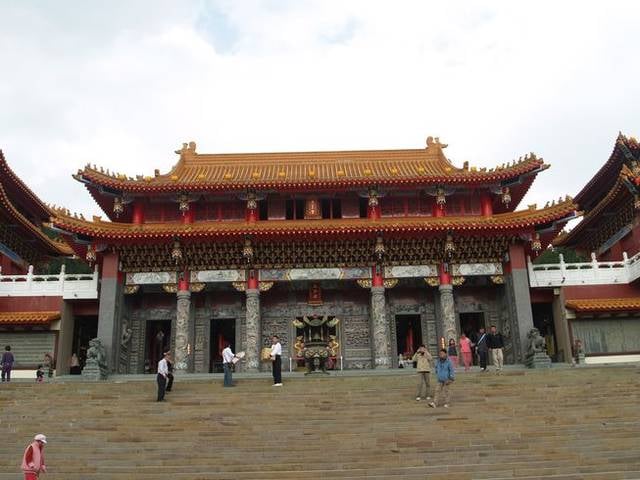
Gallery (2)
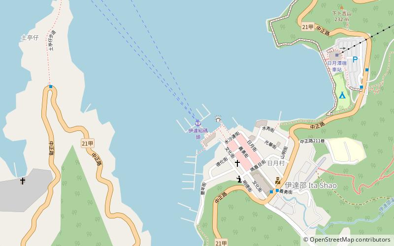
Map
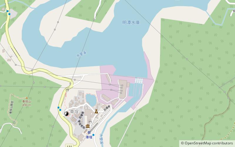

Map
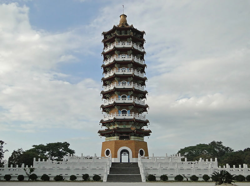
Gallery
Facts and practical information
The Mingtan Dam is a dam that spans the Shuili River about 4 km downstream from the outlet of Sun Moon Lake in central Taiwan with a height of about 61.5 m. It forms Mingtan Reservoir which is the lower reservoir for the Mingtan Pumped Storage Hydro Power Plant. ()
Local name: 明潭水庫 Opened: 1995 (31 years ago)Length: 1030 ftHeight: 202 ftCoordinates: 23°50'11"N, 120°52'5"E
Location
Taiwan
ContactAdd
Social media
Add
Day trips