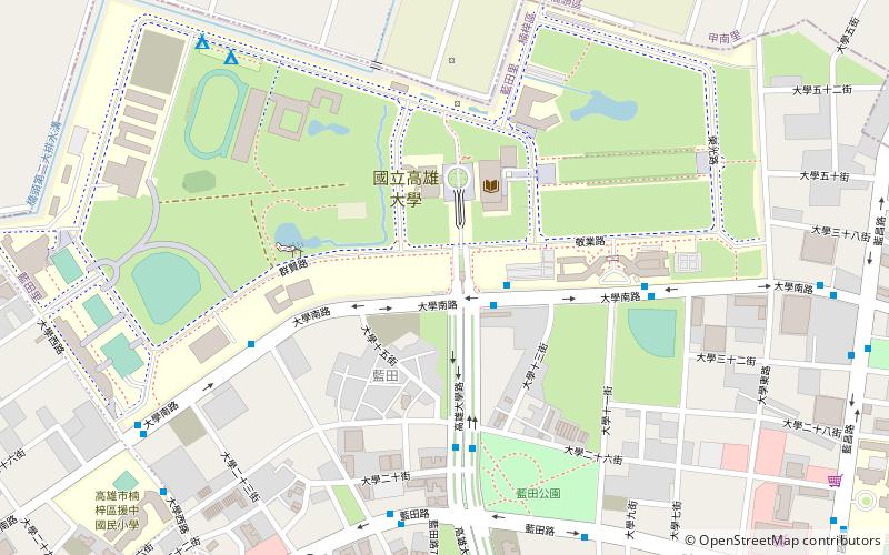
Youchang Forest Park, Kaohsiung
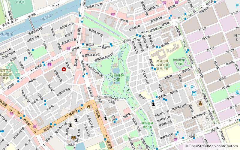
Map
Map

Facts and practical information
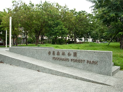
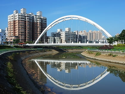
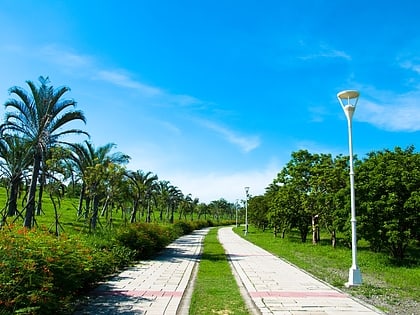
The Youchang Forest Park is an urban park in Nanzih District, Kaohsiung, Taiwan. ()
Local name: 右昌森林公園 Established: 30 December 1982 (43 years ago)Elevation: 39 ft a.s.l.Coordinates: 22°43'11"N, 120°17'38"E
Address
Kaohsiung
ContactAdd
Social media
Add
Day trips
Youchang Forest Park – popular in the area (distance from the attraction)
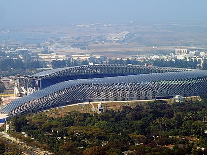
Nearby attractions include: Nanzih District, Kaohsiung Metropolitan Park, National Stadium, National University of Kaohsiung.
Frequently Asked Questions (FAQ)
How to get to Youchang Forest Park by public transport?
The nearest stations to Youchang Forest Park:
Bus
Train
Metro
Bus
- Demin Road • Lines: 245A, 紅56 (4 min walk)
- Jiachang Elementary School • Lines: 219A, 245A, 28, 6, 7C (5 min walk)
Train
- Nanzih Export Processing Zone (22 min walk)
Metro
- Nanzih Export Processing Zone • Lines: R (22 min walk)
- Oil Refinery Elementary School • Lines: R (24 min walk)
