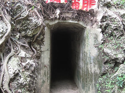
Linyuan Cingshueiyan Former Japanese Military Tunnel, Kaohsiung
Map
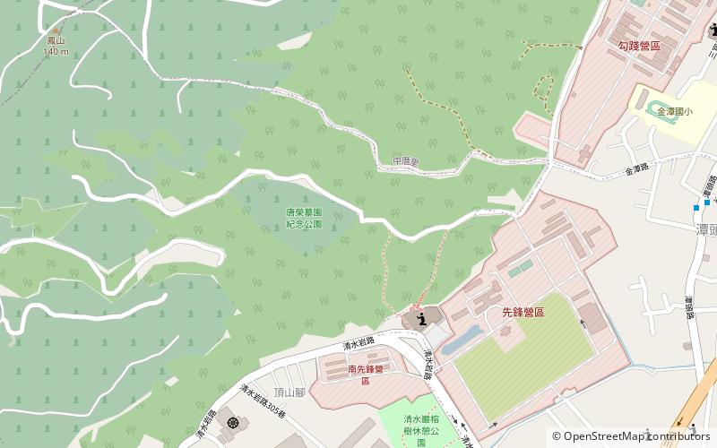
Map

Facts and practical information
Coordinates: 22°31'33"N, 120°23'20"E
Address
Kaohsiung
ContactAdd
Social media
Add
Day trips
Linyuan Cingshueiyan Former Japanese Military Tunnel – popular in the area (distance from the attraction)
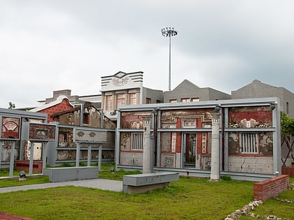
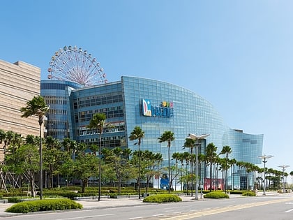
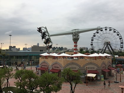
Nearby attractions include: Hongmaogang Cultural Park, Dream Mall, An-Nur Tongkang Mosque, Taroko Park.
Frequently Asked Questions (FAQ)
How to get to Linyuan Cingshueiyan Former Japanese Military Tunnel by public transport?
The nearest stations to Linyuan Cingshueiyan Former Japanese Military Tunnel:
Bus
Bus
- Tantou • Lines: 紅8 (14 min walk)
- Zhongcuo • Lines: 紅8 (18 min walk)
