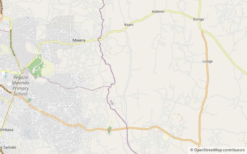
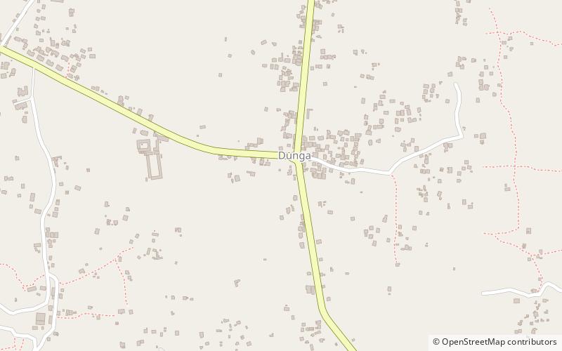
Dunga Ruins, Unguja
Map
Facts and practical information
Dunga Ruins is a place located in Unguja (Zanzibar South and Central region) and belongs to the category of ruins.
It is situated at an altitude of 118 feet, and its geographical coordinates are 6°8'7"S latitude and 39°19'29"E longitude.
Among other places and attractions worth visiting in the area are: Magharibi District (neighbourhood, 91 min walk).
Coordinates: 6°8'7"S, 39°19'29"E
Address
Unguja
ContactAdd
Social media
Add
Day trips
Dunga Ruins – popular in the area (distance from the attraction)
Nearby attractions include: Magharibi District.