Hindu Temple, Moshi
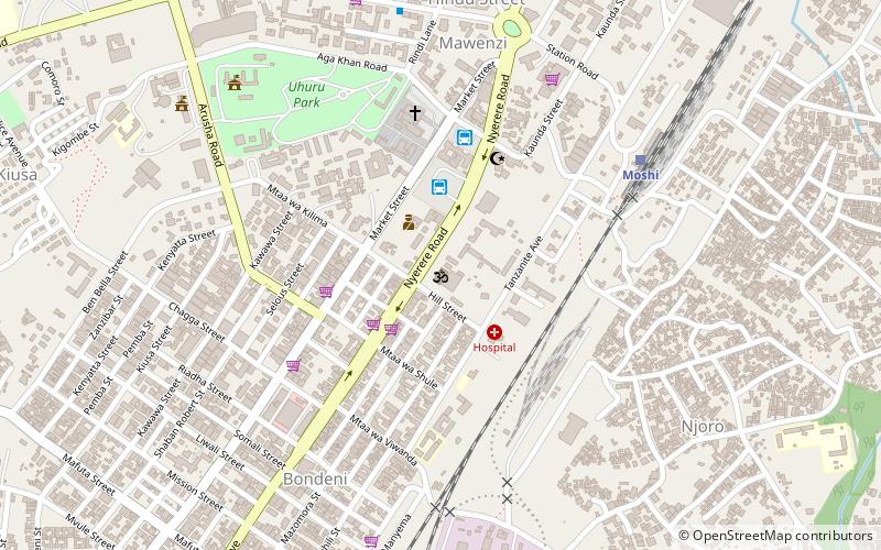
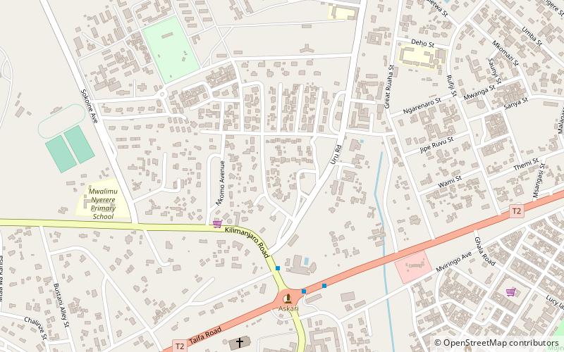
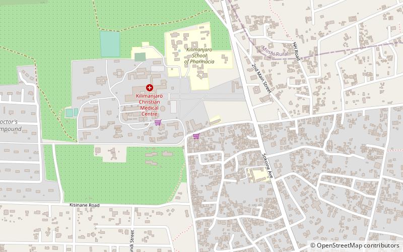
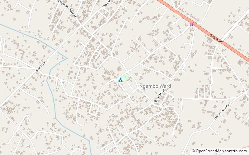
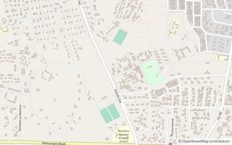
Map
Facts and practical information
Hindu Temple is a place located in Moshi (Kilimanjaro region) and belongs to the category of temple.
It is situated at an altitude of 2703 feet, and its geographical coordinates are 3°21'12"S latitude and 37°20'32"E longitude.
Among other places and attractions worth visiting in the area are: Kilimanjaro Regional Council (city hall, 10 min walk), Moshi District (neighbourhood, 17 min walk), Moshi Rural District (neighbourhood, 26 min walk).
Coordinates: 3°21'12"S, 37°20'32"E
Address
Moshi
ContactAdd
Social media
Add
Day trips
Frequently Asked Questions (FAQ)
Which popular attractions are close to Hindu Temple?
Nearby attractions include Kilimanjaro Regional Council, Moshi (10 min walk), Moshi District, Moshi (17 min walk).