CCM Ruin, Bukoba

Map
Facts and practical information
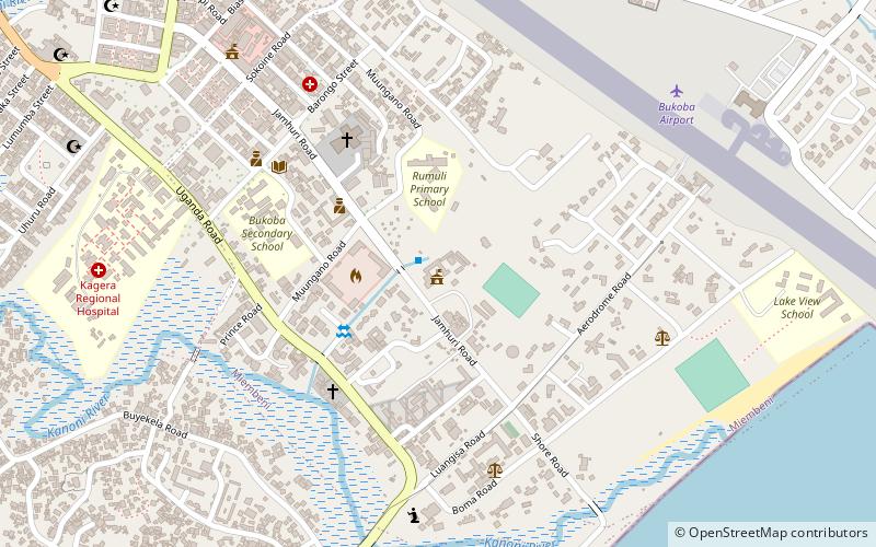
CCM Ruin is a place located in Bukoba (Kagera region) and belongs to the category of ruins.
It is situated at an altitude of 3757 feet, and its geographical coordinates are 1°20'9"S latitude and 31°49'2"E longitude.
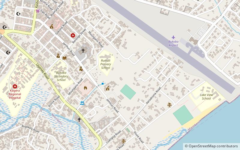
Among other places and attractions worth visiting in the area are: Bukoba Municipal Council (city hall, 4 min walk), Bukoba Urban District (neighbourhood, 5 min walk), Ancient German Telegraph Station (ruins, 7 min walk).
Coordinates: 1°20'9"S, 31°49'2"E
Address
Bukoba
ContactAdd
Social media
Add
Day trips
Frequently Asked Questions (FAQ)
Which popular attractions are close to CCM Ruin?
Nearby attractions include Bukoba Municipal Council, Bukoba (4 min walk), Bukoba Urban District, Bukoba (5 min walk), Ancient German Telegraph Station, Bukoba (7 min walk), Warrior's Monument, Bukoba (18 min walk).