Lake Chala
Map

Gallery

Facts and practical information
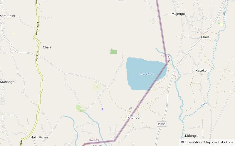
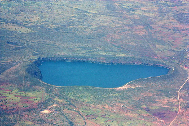
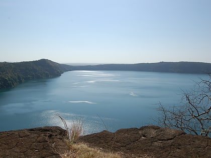
Lake Chala, also known as Lake Challa, is a crater lake that straddles the border between Kenya and Tanzania. The lake formed approximately 250,000 years ago. The lake is east of Mount Kilimanjaro, 8 kilometres north of Taveta, Kenya, and 55 kilometres east of Rombo District. The lake is surrounded by a steep crater rim with a maximum height of 170 metres. ()
Local name: Ziwa Chala Area: 1.62 mi²Maximum depth: 322 ftElevation: 3199 ft a.s.l.Coordinates: 3°19'0"S, 37°40'60"E
Location
Kilimanjaro
ContactAdd
Social media
Add
