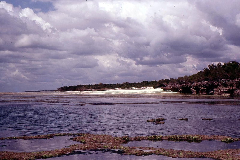
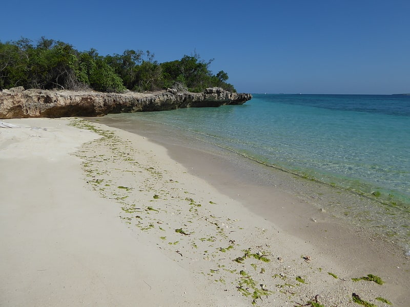
White Sands, Dar es Salaam
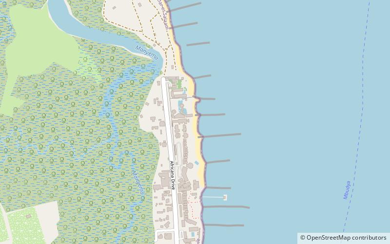
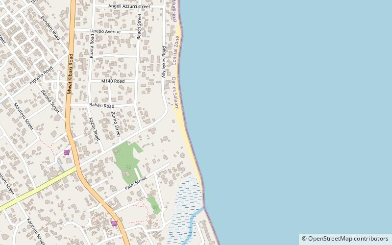
Map
Facts and practical information
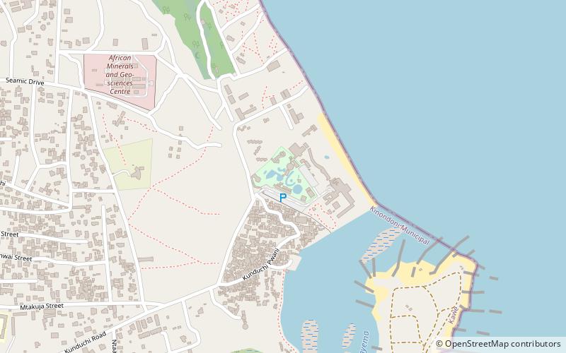
White Sands is a place located in Dar es Salaam (Dar es Salaam region) and belongs to the category of beach.
It is situated at an altitude of 7 feet, and its geographical coordinates are 6°40'50"S latitude and 39°13'27"E longitude.
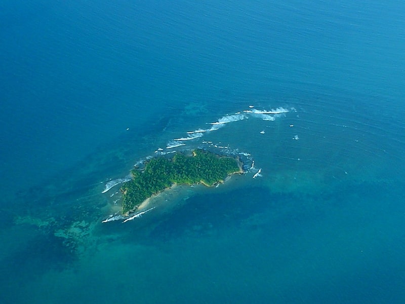
Among other places and attractions worth visiting in the area are: Kunduchi Wet 'N' Wild Water Park (watersports, 28 min walk), Pangavini Island (island, 28 min walk), Mbudya Island (island, 62 min walk).
Coordinates: 6°40'50"S, 39°13'27"E
Address
Dar es Salaam
ContactAdd
Social media
Add
Day trips